
What's Happening?
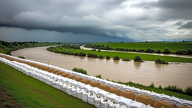
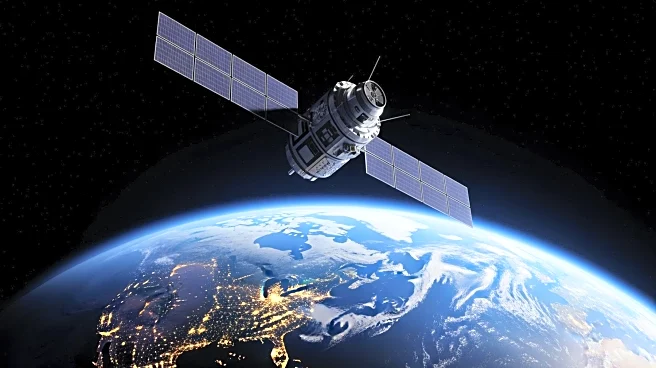
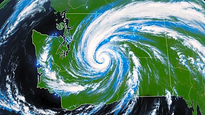
NASA's Integrated Multi-satellitE Retrievals for the Global Precipitation Measurement (IMERG) algorithm has been instrumental in tracking severe flooding in Washington State. During the first three weeks
of December 2025, atmospheric rivers carried significant moisture from the Tropics to the United States, resulting in flood-producing storms. The IMERG algorithm, which combines data from multiple satellites, estimated that precipitation totals exceeded 15 inches over the Olympic Mountains and 24 inches over parts of the Cascade Mountains. This heavy rainfall led to landslides, flooding, and power outages, and caused several highway closures in the region. The National Oceanic and Atmospheric Administration (NOAA) corroborated these findings with its Stage IV precipitation estimates, which also indicated significant snowfall in the area.
Why It's Important?
The flooding in Washington State highlights the increasing impact of atmospheric rivers, which are becoming more frequent and intense due to climate change. These events pose significant challenges for infrastructure, emergency response, and public safety. The ability of NASA's IMERG algorithm to accurately estimate precipitation in real-time is crucial for disaster preparedness and response. Accurate data allows for better resource allocation and risk assessment, potentially saving lives and reducing economic losses. The collaboration between NASA and NOAA in providing comprehensive precipitation data underscores the importance of inter-agency cooperation in addressing climate-related challenges.
What's Next?
As the frequency of extreme weather events increases, continued advancements in satellite technology and data analysis will be essential. Agencies like NASA and NOAA are likely to enhance their predictive models and data-sharing capabilities to improve early warning systems. Local governments and emergency services in affected areas will need to adapt their infrastructure and response strategies to mitigate the impact of future atmospheric river events. Public awareness campaigns and community preparedness programs will also play a critical role in minimizing the risks associated with such natural disasters.
Beyond the Headlines
The reliance on advanced satellite technology for weather prediction raises questions about data accessibility and equity. Ensuring that all communities, especially those in remote or underserved areas, have access to timely and accurate weather information is crucial. Additionally, the environmental impact of increased satellite launches and operations must be considered as part of a broader discussion on sustainable practices in space exploration and technology deployment.