

What's Happening?
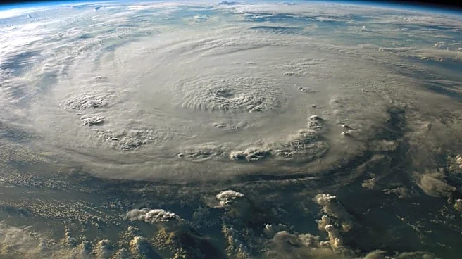
The National Oceanic and Atmospheric Administration (NOAA) forecasts a strengthening El Niño climate pattern, potentially evolving into a rare 'super' El Niño by late 2026. This phenomenon is characterized by warmer-than-average sea-surface temperatures
in the tropical Pacific Ocean, which can significantly alter global weather patterns. The NOAA predicts above-normal precipitation across the Southern U.S., particularly in the Gulf States and Southeast, with potential impacts on winter storms, flooding, and agriculture. The event could rival historic El Niño episodes, affecting weather conditions across the United States.
Why It's Important?
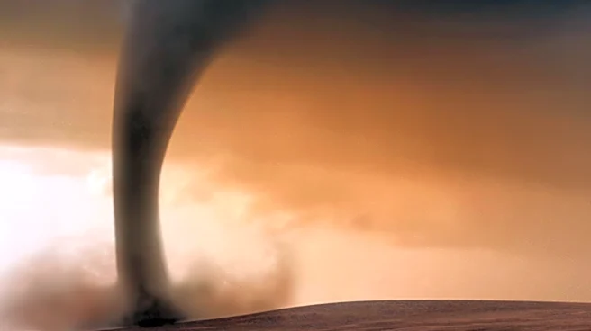
A super El Niño event can have widespread implications for weather patterns, agriculture, and disaster preparedness in the U.S. Regions such as California and the Gulf Coast may experience increased rainfall and severe weather, including tornadoes and flooding. These conditions can disrupt agricultural activities, impact water resources, and necessitate enhanced emergency response measures. Understanding and preparing for the potential impacts of El Niño is crucial for mitigating risks and ensuring public safety. The event also underscores the importance of climate monitoring and forecasting in managing environmental challenges.
What's Next?
Forecasters are closely monitoring ocean temperatures and atmospheric conditions to assess the potential strength and impacts of the developing El Niño. Emergency managers and weather agencies are preparing for possible severe weather scenarios, particularly in vulnerable states. The NOAA's Climate Prediction Center continues to update forecasts, with a focus on the likelihood of above-normal precipitation and severe weather events. Stakeholders are advised to stay informed and ready for potential disruptions during the fall and winter seasons.