


What's Happening?
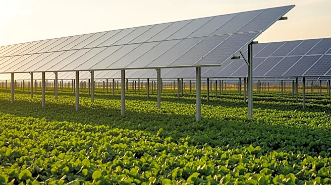
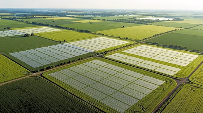
The Solar Energy Industries Association (SEIA) has introduced an interactive map that illustrates the minimal impact of solar development on U.S. prime farmland. The map reveals that solar energy projects occupy only 0.07% of America's prime farmland,
a significantly smaller footprint compared to other land uses such as suburban sprawl and golf courses. This initiative comes amid ongoing Farm Bill negotiations in Congress and aims to counter misinformation regarding solar development's impact on agricultural land. The map also highlights the dual-use potential of solar projects, which can coexist with agricultural practices like grazing and pollinator habitats, providing a stable revenue source for farmers.
Why It's Important?
The introduction of this map is significant as it provides a data-driven perspective on the land use debate surrounding solar energy. By demonstrating that solar projects have a minimal impact on farmland, SEIA aims to alleviate concerns about the potential displacement of agricultural activities. This could encourage more farmers and landowners to consider solar energy as a viable option for diversifying income and supporting sustainable practices. Additionally, the map supports the argument for expanding solar energy infrastructure, which is crucial for transitioning to a clean energy economy and reducing reliance on fossil fuels.
What's Next?
As the Farm Bill negotiations continue, the data provided by SEIA's map could influence policy decisions regarding land use and renewable energy development. Lawmakers may consider this information when crafting legislation that balances agricultural needs with the expansion of clean energy. Furthermore, the map could serve as a tool for local governments and communities to make informed decisions about land use planning and zoning. The continued promotion of dual-use solar projects could also lead to increased adoption of solar energy in rural areas, contributing to economic growth and energy independence.