
What's Happening?
State experts in Washington have developed a new model illustrating the potential impact of a massive 9.2 magnitude earthquake off the coast of Alaska on Puget Sound. The model indicates that such an event
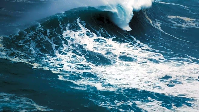
could generate a tsunami reaching various parts of Washington state. Specifically, water levels could rise by two feet in Seattle, four feet in Olympia, and as high as 24 feet along the coast at Westport. This scenario is based, in part, on the deadly 1964 Alaskan earthquake that also sent a tsunami to Washington State. Elyssa Tappero, Tsunami Program Manager with the Washington State Emergency Management Division, emphasized that even distant seismic events can significantly affect all of Washington. Harold Tobin, Director of the Pacific NW Seismic Network, explained that tsunamis are generated when underwater earthquakes suddenly lift the seabed, pushing water upwards and creating waves that disperse across the ocean.
Why It's Important?
This new model is crucial for enhancing disaster preparedness and public safety in Washington state. While much attention is often given to the Cascadia Subduction Zone, this model highlights the significant threat posed by distant tsunamis originating from areas like the Alaska-Aleutian subduction zone, which occur more frequently. The potential for water level rises of up to 24 feet in coastal areas like Westport, and several feet within Puget Sound, underscores the need for robust evacuation plans and infrastructure resilience. Understanding the specific impacts on cities like Seattle and Olympia allows for targeted emergency response strategies. The model's prediction of a 3.5-hour window for the first high waves to reach the Washington Coast provides critical time for evacuation, emphasizing the importance of early warning systems and public awareness campaigns. This information is vital for protecting lives and minimizing damage to coastal communities and infrastructure.
What's Next?
The state currently has 122 tsunami sirens strategically located along the coast and in other vulnerable areas, which would be activated in the event of a distant tsunami. In addition to these sirens, residents would receive tsunami warnings on their smartphones through the same system used for Amber Alerts. The 3.5-hour lead time for waves to reach the Washington Coast, as predicted by the model, provides a critical window for authorities to issue warnings and for residents to evacuate to higher ground. State agencies will likely use this new model to refine existing emergency protocols, conduct public awareness campaigns, and potentially identify areas requiring further infrastructure improvements to withstand tsunami impacts. Continued public education on tsunami safety, including evacuation routes and emergency kit preparation, will be essential to ensure community readiness.
Beyond the Headlines
The development of this tsunami model underscores the evolving understanding of seismic risks and their far-reaching consequences. It highlights the interconnectedness of geological events across vast distances and the need for comprehensive, multi-hazard preparedness strategies. Beyond immediate safety concerns, the model's findings could influence long-term urban planning and coastal development policies in Washington. Decisions regarding building codes, infrastructure placement, and land use in vulnerable areas may be re-evaluated to enhance resilience against future tsunami events. The reliance on both traditional siren systems and modern smartphone alerts reflects a multi-layered approach to public communication in emergencies, acknowledging the diverse ways people receive critical information. This proactive modeling effort serves as a testament to the continuous scientific endeavor to mitigate natural disaster risks and protect populations.