





What's Happening?
A cold front is anticipated to move through the San Antonio area on Sunday, bringing with it a threat of severe weather, primarily in the morning. Showers are expected to increase this evening and tonight, with scattered light to moderate rain and some
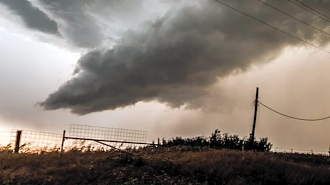
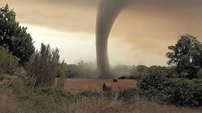
downpours possible. The highest chance for rain and the potential for severe storms will occur Sunday morning, ahead of the cold front's midday passage. Storms that develop could be strong to severe, with small hail and damaging winds identified as the main threats. Bexar County and areas to its east are under a 'marginal' (level 1 of 5) severe weather threat. There is also a possibility of an isolated brief tornado, particularly in eastern areas. The severe weather threat is expected to last from 7 AM to 1 PM Sunday, pushing towards the coast and east of the area by mid-afternoon.
Why It's Important?
This forecast is crucial for residents and businesses in San Antonio and surrounding eastern areas, as severe weather can pose significant risks to safety and property. The potential for damaging winds and small hail can lead to power outages, structural damage, and hazardous driving conditions. An isolated tornado threat, even if brief, necessitates heightened vigilance and preparedness. For local emergency services, this forecast triggers readiness protocols to respond to potential incidents. Businesses, particularly those reliant on outdoor operations or sensitive to weather disruptions, may need to adjust their plans. The shift to breezy northerly winds and cooler temperatures behind the front will also impact daily activities, emphasizing the need for residents to stay informed and take necessary precautions.
What's Next?
Residents in San Antonio and eastern Bexar County should closely monitor weather updates from local news and official meteorological sources throughout Saturday evening and Sunday morning. The primary window for severe weather is between 7 AM and 1 PM on Sunday. It is advisable to secure outdoor items, prepare for potential power outages, and have a safety plan in place in case of severe storm warnings or tornado watches. After the cold front passes midday Sunday, temperatures are expected to drop, with Monday predicted to be cloudy and raw, featuring breezy northerly winds and temperatures only in the 50s. The News 4 San Antonio / FOX SA weather team will provide continuous updates both on air and online.
Beyond the Headlines
Beyond the immediate weather concerns, this forecast highlights the broader implications of climate patterns and their impact on urban areas. The increasing frequency or intensity of severe weather events can place long-term strains on infrastructure, emergency response systems, and community resilience. For San Antonio, a city prone to various weather phenomena, consistent preparedness and public education on severe weather safety are paramount. This event also subtly underscores the role of accurate meteorological forecasting in public safety and economic stability, as timely warnings allow for proactive measures that can mitigate damage and save lives. The shift in temperatures and wind patterns also reflects the dynamic nature of regional weather systems, influencing everything from energy consumption to agricultural planning, even in urbanized settings.