


What's Happening?
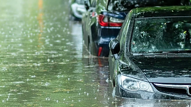
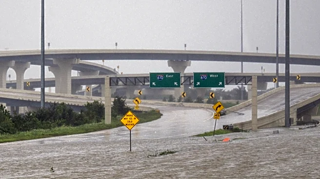
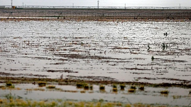
The San Antonio area is bracing for renewed flooding as more rain is anticipated after several inches fell on Thursday. A Flood Watch remains in effect until 7 p.m. for much of the region, with an additional 1 to 3 inches of rain possible in some locations.
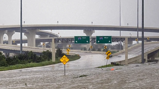
Bexar County previously received between 2 and 4 inches of rain, with some western areas like Rocksprings reporting about 6 inches. The ground is already saturated, making rivers, creeks, streams, low-water crossings, and underpasses particularly vulnerable to further flooding. Showers began developing early Friday morning south of San Antonio along Interstate 35, extending across parts of Bexar, Wilson, Guadalupe, and Gonzales counties. A stalled front is expected to maintain elevated rain chances throughout the day. Additionally, fog is a concern, with saturated air potentially reducing visibility significantly, including at San Antonio International Airport.
Why It's Important?
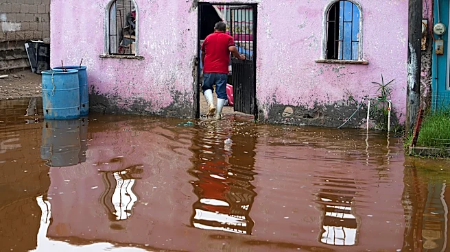
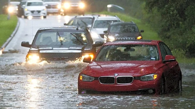
The ongoing and anticipated rainfall poses significant risks to public safety and infrastructure in the San Antonio area. Flash flooding can lead to dangerous road conditions, property damage, and potential disruptions to daily life and commerce. The saturation of the ground means that even moderate additional rainfall can quickly overwhelm drainage systems, increasing the likelihood of severe flooding in vulnerable areas. This situation impacts local emergency services, requiring them to be on high alert for rescue operations and road closures. Businesses may experience reduced customer traffic and supply chain interruptions due to impassable roads. Residents face the threat of property damage and the need for evacuation, highlighting the economic and social costs associated with severe weather events. The persistent flood watch underscores the critical need for residents to remain vigilant and adhere to safety advisories.
What's Next?
Showers and thunderstorms are expected to continue through Friday morning and into the afternoon, though rain should gradually become less widespread later in the day, with a 70% chance of rain and temperatures near 80 degrees. Scattered showers remain possible on Saturday, with a 50% chance of rain, but the flood threat is expected to be lower. Rain chances will decrease to around 30% on Sunday, paving the way for drier weather next week. The forecast also indicates a shift towards cooler, fall-like temperatures, with morning lows dropping into the mid-60s starting Tuesday and afternoon highs in the low to mid-80s. Local authorities will continue to monitor weather conditions and issue updates regarding road closures and safety precautions. Residents are advised to stay informed through local news channels and emergency alerts.
Beyond the Headlines
The recurring flood events in San Antonio highlight broader challenges related to urban development, climate patterns, and infrastructure resilience. As urban areas expand, impervious surfaces increase, reducing natural absorption and exacerbating runoff, which can intensify flooding even with moderate rainfall. The vulnerability of low-water crossings and underpasses points to ongoing infrastructure needs and the importance of investing in flood mitigation projects. Furthermore, the impact on visibility due to fog underscores the multifaceted dangers of severe weather, affecting not only ground transportation but also air travel. These events prompt discussions about long-term urban planning strategies, including green infrastructure solutions and improved early warning systems, to better protect communities from the increasing frequency and intensity of extreme weather phenomena.