




What's Happening?
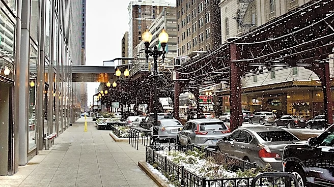
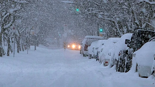
Lake effect rain is forecast to transition into wet snow across parts of the Chicagoland area Thursday night, potentially affecting the Friday morning commute. A Winter Weather Advisory has been issued by the National Weather Service, effective from midnight
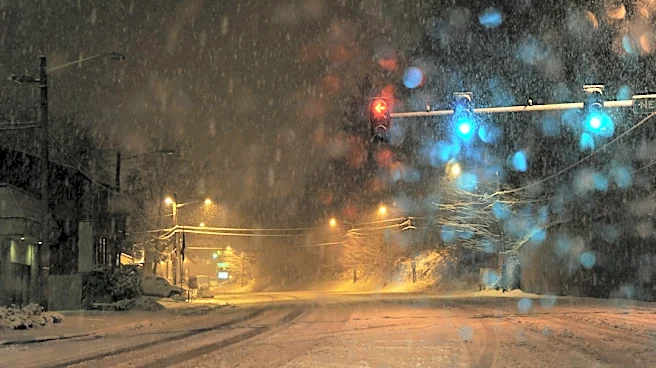
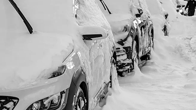
through 10 a.m. Friday, for southern Cook County, eastern Will County, and Lake County, Indiana. Areas along and east of I-57 are expected to experience the most significant impacts. While some locations could receive more than 4 inches of snow, the exact accumulation will depend on where the lake effect snow band parks itself. Reduced visibility during the morning commuting hours is also anticipated, requiring commuters to plan ahead for rapidly changing road conditions. Looking beyond Friday, the weekend is expected to bring drier conditions with temperatures rising to the mid-40s on Saturday and near 50 degrees on Sunday, with next week seeing highs in the mid-50s.
Why It's Important?
The impending lake effect snow poses a significant challenge for the Friday morning commute in a major metropolitan area like Chicago. Disruptions to transportation can lead to increased traffic congestion, delays for public transit, and potential safety hazards on roads, impacting thousands of commuters and businesses. The advisory highlights the need for residents to adjust their travel plans and exercise caution, which can have economic implications due to lost productivity or increased operational costs for businesses. Furthermore, the localized nature of lake effect snow means that some areas will be heavily impacted while others remain relatively clear, creating uneven challenges across the region. This event underscores the importance of timely weather forecasting and public communication in mitigating the effects of adverse weather.
What's Next?
Residents in the affected areas should prepare for a challenging Friday morning commute. This includes allowing extra travel time, checking road conditions before departing, and exercising extreme caution if driving. Public transportation services may experience delays, and commuters are advised to check for updates from their respective transit authorities. Emergency services and road crews will be on standby to address any issues arising from the snow, such as accidents or hazardous road conditions. Beyond Friday morning, the weather is expected to improve, with drier and warmer conditions anticipated for the weekend and into next week, allowing for a return to normal routines.
Beyond the Headlines
Lake effect snow events, while common in regions near large bodies of water like Lake Michigan, highlight the unique meteorological phenomena that influence local weather patterns. These events can create microclimates where conditions vary dramatically over short distances, posing particular challenges for forecasting and public preparedness. The economic and social implications extend beyond immediate travel disruptions, affecting local businesses, schools, and community activities. Such weather patterns also serve as a reminder of the dynamic interplay between geography, climate, and human infrastructure, prompting ongoing efforts in urban planning and emergency management to build resilience against natural weather phenomena.