







What's Happening?
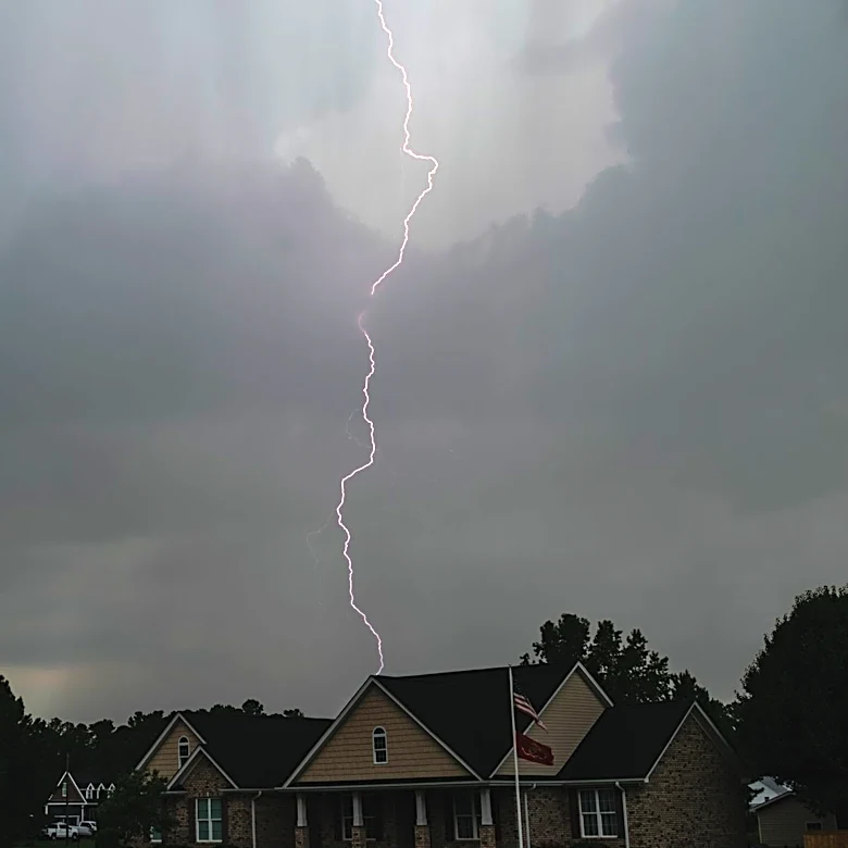
A severe weather pattern is affecting over 40 million people across the Mid-Atlantic and Carolinas, with damaging wind gusts and localized flash flooding posing significant risks. The weekend began with severe impacts across the East Coast, including
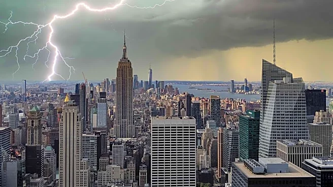
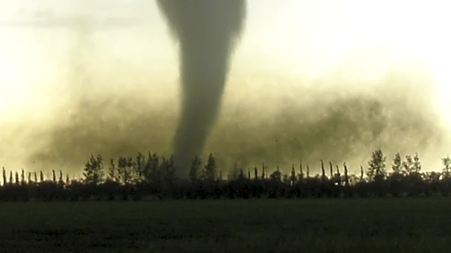
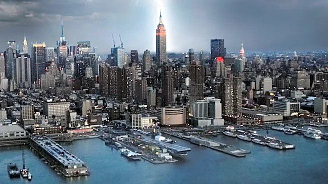
flooding rains, wind gusts over 70 mph, and reports of tornadoes. New Jersey Governor Mikie Sherrill has advised residents to plan their travel accordingly. Flash Flood Warnings were issued for all five New York City boroughs, with rain rates of 2 to 3 inches per hour expected. The storms have already caused significant disruptions, including power outages affecting approximately 240,000 customers, with Virginia experiencing the highest number of outages.
Why It's Important?
The severe weather poses a substantial threat to public safety and infrastructure in the affected regions. The potential for flash flooding and high winds could lead to property damage, transportation disruptions, and power outages, impacting daily life and economic activities. Emergency services may be strained as they respond to incidents such as high water rescues and power restoration efforts. The situation underscores the importance of preparedness and effective communication from local authorities to minimize risks to residents.
What's Next?
The severe weather is expected to continue into Monday, with a level 1 out of 5 severe threat remaining for most of eastern North Carolina. Residents in the affected areas should stay informed through local news and weather updates, and follow any advisories or warnings issued by authorities. The potential for continued rainfall and flash flooding means that the situation could evolve, requiring ongoing vigilance and readiness to respond to changing conditions.