


What's Happening?
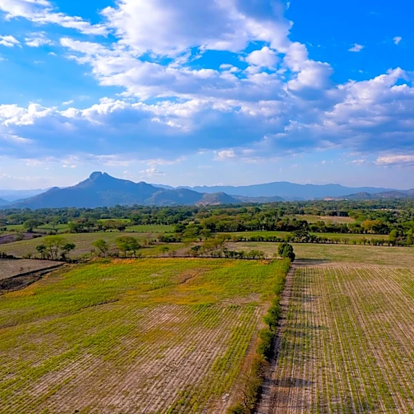
North Texas is currently experiencing a period of intense heat, with temperatures in the 70s and 80s during the evening, and feels-like temperatures reaching between 103 and 105 degrees. A heat advisory remains in effect for areas to the west of the Metroplex.
Despite avoiding severe weather on Saturday, the region is expected to continue facing a mix of high temperatures and the potential for rain in the coming week. This weather pattern suggests a return of rain chances, which could bring localized flooding and thunderstorms to the area.
Why It's Important?
The ongoing heat wave in North Texas poses significant health risks, particularly for vulnerable populations such as the elderly and those with pre-existing health conditions. The high temperatures can lead to heat-related illnesses, including heat exhaustion and heat stroke. Additionally, the potential for rain and thunderstorms could exacerbate the situation by causing localized flooding, impacting transportation and infrastructure. The combination of heat and rain also affects local agriculture, potentially damaging crops and affecting food supply chains. Residents and local authorities must remain vigilant and prepared for these weather conditions.
What's Next?
As the heat advisory continues, residents are advised to take precautions to stay cool and hydrated. Local authorities may implement measures to assist vulnerable populations, such as opening cooling centers. The return of rain chances suggests that residents should also prepare for potential flooding and ensure that drainage systems are clear. Meteorologists will continue to monitor the weather patterns closely, providing updates and warnings as necessary. Community preparedness and response will be crucial in mitigating the impact of these weather conditions.