
What's Happening?
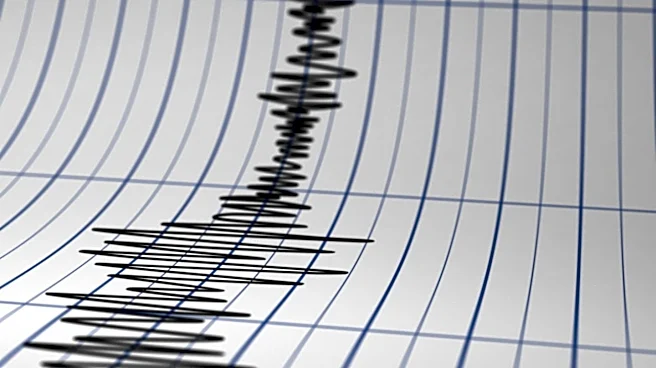
A 4.4 magnitude earthquake occurred off the Oregon Coast, as reported by the United States Geological Survey (USGS). The seismic event took place at 11:20 a.m. local time, approximately 216 miles west
of Bandon, Oregon. The earthquake's depth was recorded at about 6.2 miles below the ocean surface. Following the tremor, authorities confirmed that there is no tsunami threat to the Oregon Coast. This event is part of the ongoing seismic activity in the Pacific Ocean region, which frequently experiences earthquakes due to its location on the Pacific Ring of Fire. The USGS continuously monitors such events to assess potential impacts and provide timely information to the public and emergency services.
Why It's Important?
The occurrence of a 4.4 magnitude earthquake off the Oregon Coast, while not immediately threatening a tsunami, serves as a crucial reminder of the seismic risks inherent to the U.S. Pacific Northwest. This region is situated near the Cascadia Subduction Zone, a major fault line capable of producing very large earthquakes and tsunamis. Regular seismic activity, even at moderate magnitudes, helps scientists better understand the dynamics of these fault systems and refine hazard assessments. For coastal communities and infrastructure, ongoing monitoring and preparedness are vital. This event reinforces the importance of public awareness campaigns regarding earthquake and tsunami safety, as well as the continuous investment in early warning systems and resilient infrastructure along the U.S. West Coast. While this particular quake posed no immediate danger, it contributes to the broader understanding of regional seismic patterns that could inform future disaster planning and mitigation efforts.
What's Next?
Following the 4.4 magnitude earthquake, the immediate concern for a tsunami threat has been ruled out for the Oregon Coast. The United States Geological Survey (USGS) will continue to monitor the region for any aftershocks or further seismic activity. Local authorities and emergency management agencies in Oregon will likely use this event as an opportunity to reinforce public awareness about earthquake preparedness, even for smaller tremors. This includes reminding residents about 'Drop, Cover, and Hold On' procedures and the importance of having emergency kits. Scientists will analyze the data from this earthquake to gain further insights into the tectonic processes occurring off the Pacific Northwest coast, contributing to long-term seismic hazard assessments for the region.
Beyond the Headlines
The recurring seismic activity off the Oregon Coast, including this 4.4 magnitude earthquake, underscores the long-term geological forces shaping the U.S. Pacific Northwest. This region is part of the Cascadia Subduction Zone, a complex and active plate boundary that has the potential for a 'megaquake' and associated tsunami, similar to historical events in other subduction zones globally. While this specific earthquake was minor, it contributes to the cumulative stress on the fault system. The continuous monitoring by the USGS and the absence of a tsunami threat in this instance highlight the effectiveness of current detection and warning systems. However, the deeper implication lies in the ongoing need for communities to prepare for a much larger, infrequent but inevitable event, fostering a culture of resilience and preparedness that extends beyond immediate reactions to individual tremors.