








What's Happening?
San Diego County is bracing for a fast-moving 'Pineapple Express' storm, which is forecast to hit on Halloween night and intensify into Sunday morning. This weather system, originating in the tropical Pacific, is expected to bring significant rainfall,
with coastal cities potentially receiving up to 0.8 inches and inland valleys and foothills possibly seeing an inch or more. The heaviest coastal rain is anticipated from San Diego south to the border. The storm will begin producing rain early Saturday night, coinciding with trick-or-treating activities, and is expected to strengthen around 1 a.m. Sunday before largely dissipating by mid-morning. Temperatures on Saturday evening are predicted to be in the low to mid-60s. While winds are generally expected to be light, there is a slight chance of thunderstorms, which could produce strong, isolated gusts.
Why It's Important?
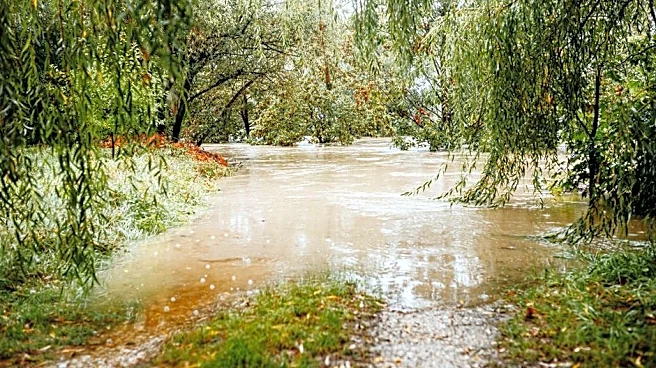
This Halloween storm carries several implications for San Diego County residents and local services. The timing of the storm, particularly during trick-or-treating hours, poses a safety concern for families and could disrupt traditional Halloween festivities. The anticipated rainfall, which could push San Diego's total October rainfall above 2 inches (significantly higher than the average half-inch for the month), raises the potential for localized flooding, especially in areas prone to poor drainage. While the National Weather Service indicates comparatively light winds, the possibility of strong, isolated gusts from thunderstorms could lead to minor power outages or downed branches. For emergency services, the storm necessitates preparedness for potential weather-related incidents, including road closures due or accidents. The event also highlights the variability of weather patterns and the importance of local communities being prepared for sudden shifts in conditions.
What's Next?
Residents of San Diego County are advised to monitor weather updates from the National Weather Service and local news outlets as the storm approaches. Those planning Halloween activities should consider the timing of the heaviest rainfall and potential for thunderstorms. Local authorities and emergency services will likely be on alert to respond to any weather-related incidents, such as localized flooding or power disruptions. The storm's impact on overall October rainfall totals will be closely watched, as it could significantly alter the monthly average. While this particular storm is fast-moving, its occurrence serves as a reminder for the region to maintain readiness for future weather events, especially as climate patterns continue to evolve. The focus will be on ensuring public safety and minimizing disruptions during and immediately after the storm.
Beyond the Headlines
The term 'Pineapple Express' refers to a meteorological phenomenon characterized by a strong, persistent band of atmospheric moisture originating from the vicinity of the Hawaiian Islands and extending to the Pacific coast of North America. These events are significant because they can deliver substantial amounts of rain and sometimes snow, often leading to flooding and mudslides, particularly in mountainous regions. While this specific storm is expected to be fast-moving, the broader pattern of Pineapple Express events is a crucial aspect of West Coast hydrology and climate. Understanding these atmospheric rivers is vital for water resource management, flood control, and agricultural planning in California. The increasing frequency or intensity of such events, potentially linked to broader climate change trends, could have long-term implications for water availability and disaster preparedness in the state, making each occurrence a data point in a larger climatic narrative.