









What's Happening?
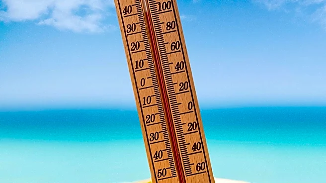
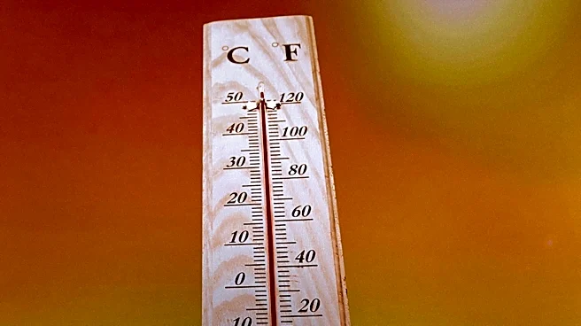
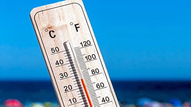
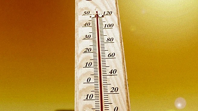
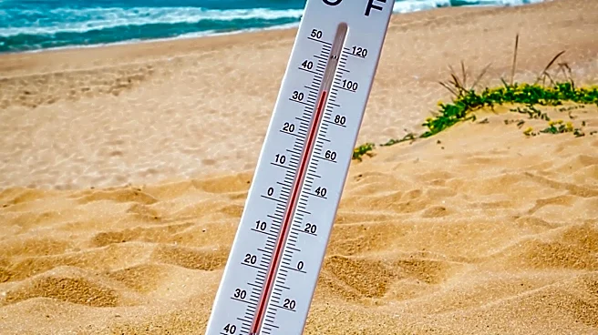
North Texas is experiencing a dry and hot weather pattern, with temperatures expected to reach a high of 98 degrees by 5 p.m. on Sunday. The region will see mostly dry conditions, with only a 10% chance of isolated showers or storms in the afternoon,
particularly north of I-20. This weather pattern is influenced by a low-pressure system currently situated in the Permian Basin. The area is entering a dry streak, with sunshine dominating the forecast. A breezy southerly wind is contributing to the heat, pushing the heat index into the triple digits. Residents are advised to stay hydrated as the heat intensifies.
Why It's Important?
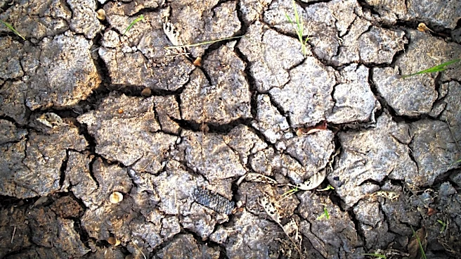
The current weather conditions in North Texas are significant due to their potential impact on public health and daily activities. High temperatures and a triple-digit heat index can pose health risks, particularly for vulnerable populations such as the elderly and those with pre-existing health conditions. The dry conditions may also affect local agriculture and water resources, as prolonged heat can lead to drought-like conditions. Additionally, the weather may influence energy consumption, as residents rely more on air conditioning to cope with the heat, potentially leading to higher utility bills and increased demand on the power grid.
What's Next?
As North Texas continues to experience this dry and hot weather pattern, residents should prepare for ongoing high temperatures and limited rainfall. Local authorities may issue heat advisories if conditions worsen, and residents should monitor weather updates for any changes. It is crucial for individuals to take precautions, such as staying indoors during peak heat hours, wearing lightweight clothing, and ensuring adequate hydration. The community may also need to consider water conservation measures if the dry streak persists, impacting local water supplies.