What is the story about?
What's Happening?
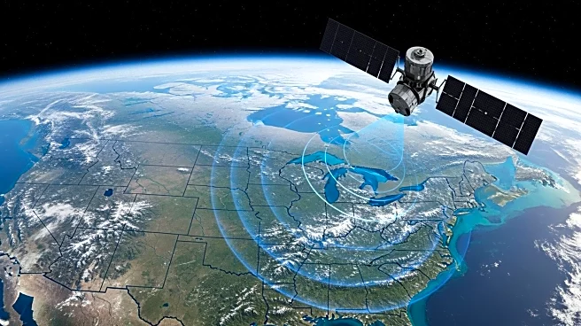
NASA has released the first radar images from the NASA-ISRO Synthetic Aperture Radar (NISAR) satellite, showcasing the Maine coast and North Dakota farmland. The satellite, launched from India two months ago, is part of a $1.3 billion joint mission between the U.S. and India. NISAR is designed to survey the world's land and ice masses multiple times, tracking shifts to aid in disaster response. The images are a preview of the satellite's capabilities, with science operations set to begin in November. The satellite orbits at 464 miles high in a near polar orbit, providing detailed data for forecasters and first responders.
Why It's Important?
The NISAR satellite represents a significant advancement in Earth observation technology, offering detailed insights into land and ice mass changes. This data is crucial for improving disaster response strategies, particularly for floods, landslides, and volcanic eruptions. The collaboration between NASA and ISRO highlights the importance of international partnerships in addressing global challenges. The satellite's ability to provide frequent and precise measurements will enhance the accuracy of environmental monitoring and contribute to better-informed decision-making processes.
What's Next?
With science operations scheduled to begin in November, NISAR will continue to capture and analyze radar images, providing valuable data for various applications. Researchers and policymakers will be able to leverage this information to improve disaster preparedness and response efforts. The satellite's ongoing mission will also contribute to scientific research on climate change and environmental shifts, offering insights that could inform future policies and initiatives.


