
What's Happening?
A strong El Niño event has developed in the tropical Pacific Ocean, with meteorologists anticipating further strengthening. Daniel Swain, a climate scientist at the University of California Agriculture and Natural Resources’ California Institute for Water
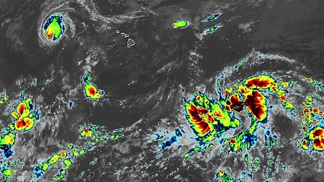
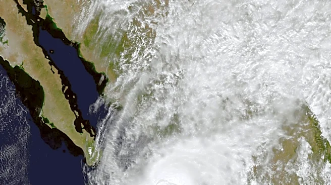
Resources, has released a fact sheet explaining the phenomenon and its potential implications. There is a high likelihood (over 90%) that this El Niño will become very strong, and approximately a 70% chance it could be the strongest on record since 1950, potentially peaking between October and December. El Niño is the warm phase of the El Niño/Southern Oscillation (ENSO) cycle, occurring every two to seven years, where the eastern tropical Pacific Ocean warms significantly. While it directly affects local climates near the warm waters, strong events can influence global climate patterns, causing temporary planetary warming and disrupting precipitation.
Why It's Important?
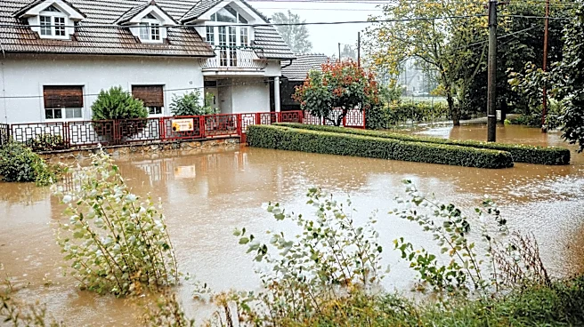
This potentially historic El Niño event carries significant implications for California and global climate. Globally, it is expected to amplify the effects of long-term climate change, increasing the likelihood of record-breaking global temperatures and extreme weather events throughout 2026-2027. This is due to increased heat and water vapor in the Earth’s atmosphere and shifts in global storm tracks, which could lead to substantial regional droughts, floods, and extreme heat. For California, very strong El Niño events tend to have more widespread and predictable effects compared to weaker ones. These include warmer near-shore ocean temperatures, higher coastal humidity, and potential disruption to marine ecosystems. There's also an increased risk of human health impacts from late summer/autumn heatwaves, higher local sea levels, stronger wave action, and elevated water levels in bays, raising concerns about coastal inundation and erosion, especially during king tides and storm events.
What's Next?
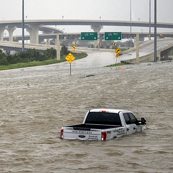
The peak impacts of this strong El Niño are expected to arrive by November or December and could persist through March. Consequently, individuals and government agencies in California are advised to complete preparedness actions by this time. While a very strong El Niño does not guarantee specific outcomes, particularly regarding winter precipitation and inland flood risk, this year's exceptionally strong event significantly increases the odds of a wetter-than-average winter, especially in central and southern California. This also points to a higher likelihood of individual heavy precipitation events, which could elevate the risk of inland freshwater flooding of rivers, creeks, and streams. However, it is crucial to note that significant flooding can occur in California during any winter, regardless of El Niño conditions.
Beyond the Headlines
The current El Niño event highlights the complex interplay between natural climate cycles and long-term climate change. Its potential to amplify existing warming trends underscores the urgency of climate adaptation and mitigation strategies. The anticipated impacts on California, from coastal erosion to increased flood risk, could strain infrastructure and emergency services, necessitating robust governmental and community-level preparedness. The disruption to marine ecosystems could also have broader ecological and economic consequences for coastal communities dependent on marine resources. This event serves as a critical case study for understanding and responding to extreme weather phenomena in an era of accelerating climate change, emphasizing the need for continuous scientific monitoring and public education on climate resilience.