

What's Happening?
The polar vortex, a band of strong westerly winds circling the Arctic stratosphere, experienced its earliest recorded collapse since 1958 around November 10. Typically, these winds intensify as winter approaches, but this year they slowed, stopped, and reversed
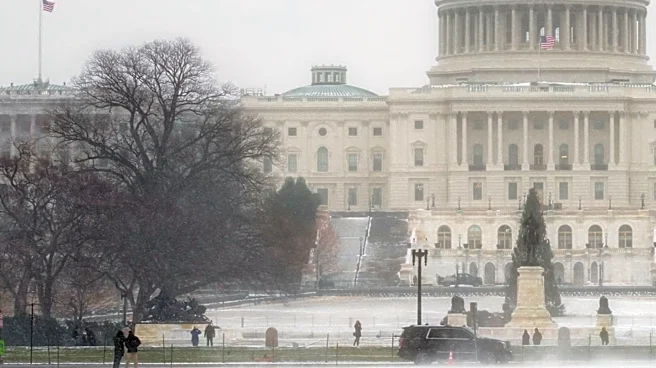
direction. This phenomenon, known as a sudden stratospheric warming, occurs when energy waves from the lower atmosphere disrupt the vortex, causing the air over the pole to warm significantly. While such events usually happen in mid-winter, this year's disruption occurred roughly two and a half weeks earlier than the previous record set on November 28, 1968. The eastern U.S. has already experienced an initial cold snap attributed to this disruption, and forecasters are now monitoring for a potential second wave of cold air around Thanksgiving weekend.
Why It's Important?
This record-early polar vortex disruption carries significant implications for weather patterns across the eastern U.S., potentially leading to colder temperatures and increased snowfall. Such weather shifts can impact various sectors, including transportation, energy consumption, and agriculture. For instance, colder conditions could lead to higher demand for heating, affecting energy markets and utility costs. Transportation networks, particularly air and road travel, could face disruptions due to snow and ice, impacting holiday travel plans around Thanksgiving. The event also presents a unique research opportunity for scientists to study the complex interactions between the stratosphere and troposphere, especially given the concurrent strong El Niño, which typically brings milder conditions to the northern U.S. The interplay between these two major climate drivers could lead to unpredictable weather outcomes, challenging long-range forecasting models and requiring heightened preparedness from communities and industries.
What's Next?
Forecasters are closely monitoring the situation, with models suggesting a potential second drop in temperatures and possibly snow for the eastern U.S. around Thanksgiving weekend. Some forecasts indicate colder air from Canada spreading into the northern and eastern U.S. from late November into early December. However, experts caution that computer models often struggle to accurately predict the full impact of these stratospheric disruptions, and the vortex is expected to recover quickly, with winds potentially returning to normal strength by the third week of November. Travelers for Thanksgiving are advised to check updated forecasts in the week leading up to their journeys, especially for northern and eastern states. Preparation for sudden changes in conditions, including packing warmer clothes and ensuring vehicles are ready for winter driving, is recommended.
Beyond the Headlines
The early collapse of the polar vortex highlights the intricate and sometimes unpredictable nature of atmospheric dynamics. While the immediate focus is on potential cold weather, this event also underscores the ongoing scientific efforts to understand and predict extreme weather phenomena. The unusual timing, especially during a strong El Niño year, provides valuable data for climate scientists studying the interplay of various atmospheric forces. This disruption serves as a reminder of how events occurring 20 miles above the Earth's surface can profoundly affect daily life and infrastructure. It also prompts a broader discussion on climate resilience and the need for robust forecasting capabilities to mitigate the impacts of such significant weather shifts on society and the economy.