
What's Happening?
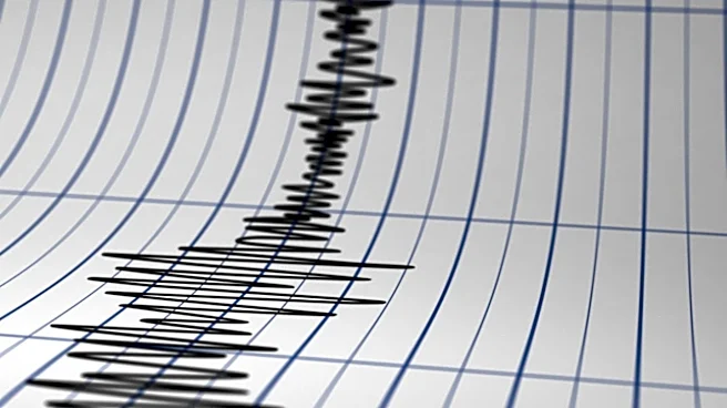
The Russian region of Dagestan experienced a 3.5 magnitude earthquake on Sunday, November 8. The Eurasian Information Agency reported that the earthquake occurred near the village of Kuliyamahi in the Laki
district. The epicenter was located 2 kilometers from the village, at coordinates 42.07 degrees north latitude and 47.33 degrees east longitude. The seismic event had a depth of 10 kilometers. According to GU EMERCOM of the Russian Federation in the Republic, tremors from this earthquake were not felt on the surface. This event highlights ongoing seismic activity in various regions, though this particular incident was minor and did not cause surface disturbances.
Why It's Important?
While a 3.5 magnitude earthquake is generally considered minor and unlikely to cause significant damage or felt tremors, its occurrence in Dagestan is important for regional seismic monitoring and infrastructure planning. For the U.S., understanding global seismic patterns contributes to broader geological research and disaster preparedness strategies, particularly for areas with similar geological characteristics. Although this specific event had no direct impact on U.S. interests, continuous monitoring of such occurrences worldwide helps refine seismic models and early warning systems. It also underscores the constant geological activity that shapes the Earth's crust, influencing everything from resource distribution to urban development in seismically active zones globally.
What's Next?
Following the earthquake, authorities in Dagestan will likely continue routine seismic monitoring to detect any aftershocks or further activity. For the broader scientific community, data from this event will be integrated into global seismic databases, contributing to a more comprehensive understanding of tectonic plate movements and earthquake prediction models. There are no immediate foreseeable consequences for the U.S. or international stakeholders, given the low magnitude and lack of reported impact. However, ongoing geological studies will utilize such data to enhance global seismic hazard assessments, which can indirectly inform U.S. infrastructure resilience and disaster response planning for its own earthquake-prone regions.
Beyond the Headlines
The occurrence of even minor earthquakes like the one in Dagestan serves as a reminder of the dynamic nature of the Earth's crust. Beyond immediate impacts, such events contribute to the long-term study of plate tectonics and the distribution of seismic risk. For instance, understanding the frequency and intensity of earthquakes in regions like Dagestan can offer insights into the stress accumulation along fault lines, which might eventually lead to larger events. This continuous data collection is crucial for developing more accurate predictive models and improving building codes in vulnerable areas worldwide, including those in the U.S. It also highlights the interconnectedness of global geological processes, where an event in one region can provide valuable data for understanding seismic phenomena elsewhere.