


What is the story about?
What's Happening?
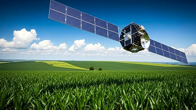
Growmark has launched a new tool designed to provide farmers with early predictions of corn yield potential. This tool, developed in collaboration with Intelinair, utilizes aerial and satellite imagery to analyze data from nearly 5 million acres across the Midwest. The myFS Agronomy platform, as it is called, offers county-level yield estimates, which in 2025 ranged from approximately 255 bushels per acre in central Iowa to about 190 in southern Illinois. The tool aims to give farmers a head start on harvest decisions by providing yield predictions as early as mid-June. According to Brendan Bachman, myFS agronomy director, the tool has achieved a prediction accuracy within 5% when used in late July and early August. The platform integrates various data sources, including imagery, soil data, and hybrid information, to refine field-by-field estimates.
Why It's Important?
The introduction of this tool is significant for the agricultural sector as it enhances data-driven decision-making for farmers. By providing early yield predictions, farmers can better plan their harvests and make informed decisions regarding resource allocation and market strategies. This technological advancement could lead to increased efficiency and profitability in farming operations. The tool's ability to integrate multiple data sources into a single platform also simplifies the process for farmers, allowing them to access critical information in one place. As the tool continues to evolve, it is expected to generate even more valuable insights, potentially transforming how farmers approach crop management and market engagement.
What's Next?
Farmers interested in utilizing the myFS Agronomy platform can enroll by contacting their local FS Crop Specialist or visiting FSSystem.com. As more acres are added to the platform, the accuracy and utility of the yield predictions are expected to improve. Growmark plans to continue enhancing the platform's technological capabilities, which may lead to further innovations in agricultural data analysis and decision-making tools. The company also offers advanced remote sensing analytics packages for users seeking more detailed data, with pricing varying based on the level of imagery and data included.