







What's Happening?
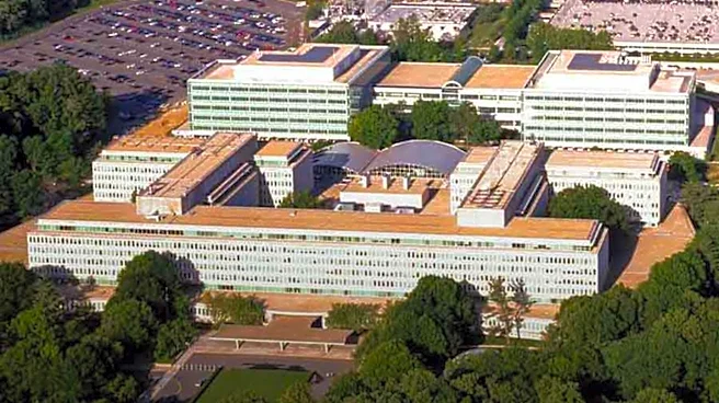
The U.S. National Geospatial-Intelligence Agency (NGA) is a key intelligence organization within the U.S. Defense Department, responsible for collecting and analyzing geospatial intelligence (GEOINT). Often referred to as 'the eye in the sky,' the NGA uses
high-resolution imagery from reconnaissance satellites and unmanned aircraft to produce precision maps and 3D models. Its mission extends beyond overseas analysis to include homeland security and disaster response, a role expanded after the September 11, 2001, attacks. For instance, during Hurricane Katrina in 2005, the NGA provided satellite imagery and geospatial information to FEMA, aiding damage assessment and response efforts. The agency's headquarters is located at Fort Belvoir in Virginia, and it operates a vast network of personnel and facilities both domestically and internationally, working alongside other leading intelligence bodies like the CIA and DIA.
Why It's Important?
The NGA's work is critically important for U.S. national security, military operations, and policy decisions. Its ability to provide detailed geospatial intelligence on adversaries, such as monitoring North Korea's nuclear and missile threats, directly informs strategic planning and defense postures. The agency's role in homeland security and disaster response, as demonstrated during Hurricane Katrina, highlights its versatility and essential contribution to civilian protection and recovery efforts. By providing accurate and timely geographic information, the NGA enables effective resource allocation and operational planning in crisis situations. The agency's advanced capabilities in imagery analysis and data processing are indispensable for maintaining a comprehensive understanding of global landscapes and potential threats, thereby safeguarding U.S. interests and supporting allied nations.
What's Next?
The NGA will continue to evolve its capabilities in response to emerging global threats and technological advancements. This includes further development in analyzing high-resolution imagery, enhancing 3D modeling, and integrating new data sources to provide even more precise and timely intelligence. The agency's ongoing cooperation with international partners, such as the South Korean military in geospatial intelligence, is likely to strengthen, fostering collaborative efforts in monitoring shared security concerns. As the landscape of intelligence gathering becomes more complex, with the proliferation of commercial satellite imagery and advanced AI analytics, the NGA will need to adapt its strategies to maintain its leading edge. Its role in supporting U.S. policy decisions and military operations, particularly in areas of geopolitical tension, will remain central to national security efforts.
Beyond the Headlines
The NGA's operations delve into profound ethical and legal dimensions concerning surveillance, privacy, and the use of advanced technology in intelligence gathering. The agency's capacity to track individuals and analyze detailed infrastructure raises questions about the balance between national security imperatives and civil liberties. The increasing sophistication of GEOINT, including the ability to discern minute details from satellite imagery, presents both unprecedented opportunities for intelligence and potential for misuse. Furthermore, the NGA's reliance on and integration of commercial satellite data introduces complexities regarding data ownership, access, and the potential for private sector influence on intelligence operations. The long-term implications include the shaping of international norms around space-based surveillance and the continuous debate over the transparency and accountability of intelligence agencies in a rapidly advancing technological world.