





What's Happening?
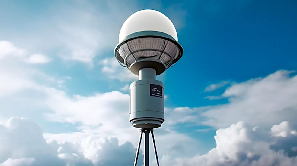
The Dothan Doppler Weather Radar, operated by the National Weather Service, is providing crucial real-time atmospheric data to enhance public safety and support local agriculture in Southeast Alabama. This advanced radar system is strategically located
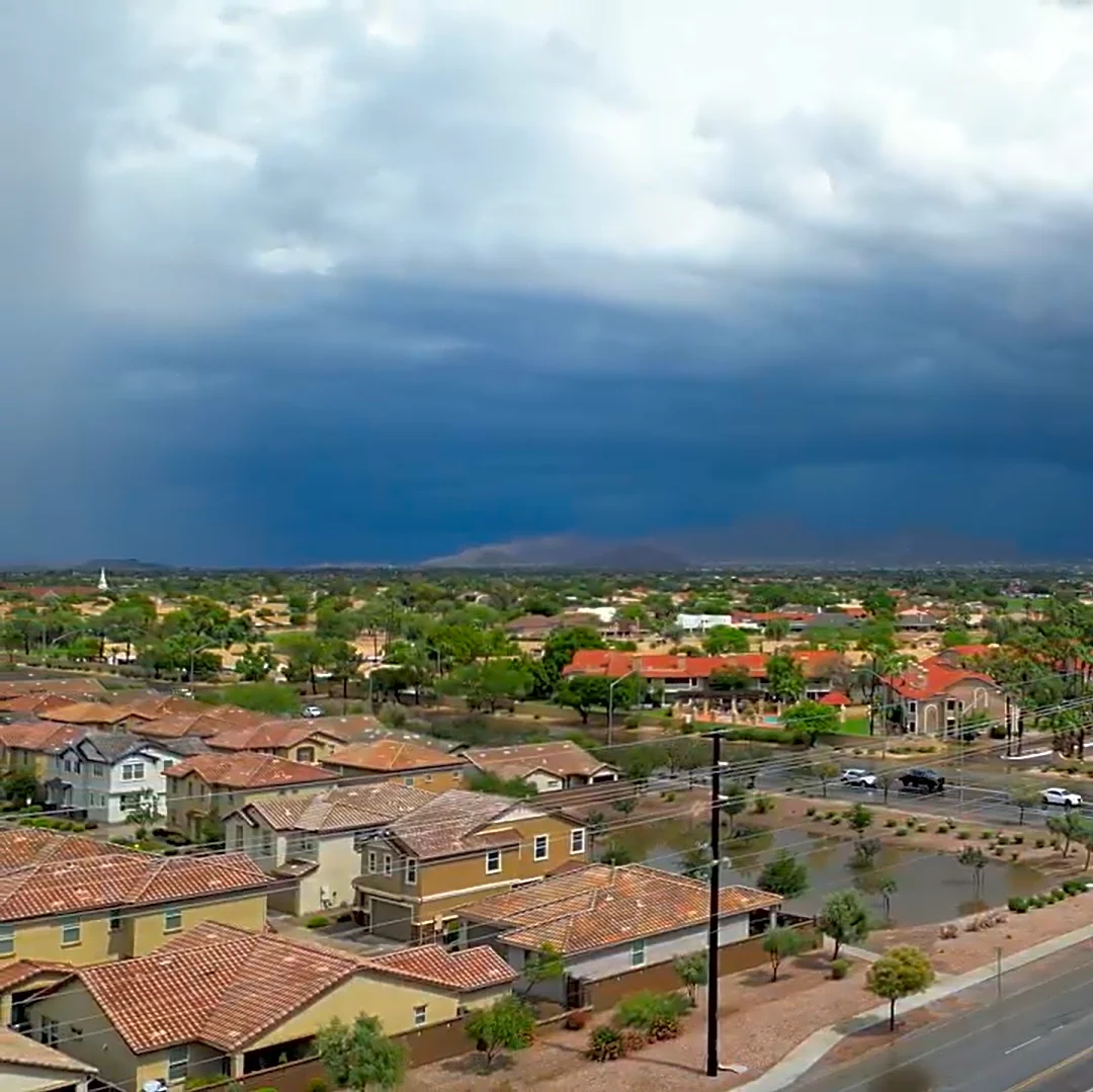
to cover the tri-state area of Alabama, Georgia, and Florida, offering precise velocity and precipitation information. It plays a vital role in tracking severe storms, including fast-moving thunderstorms and tropical systems, and is essential for issuing timely warnings for tornadoes, floods, and other hazardous weather events. The radar's ability to detect rotational signatures in thunderstorms allows forecasters to issue tornado warnings minutes earlier than conventional radar, providing critical time for residents to seek shelter. The system also supports agricultural planning by tracking rainfall patterns and storm impacts.
Why It's Important?
The Dothan Doppler Weather Radar is a cornerstone of community safety and operational planning in a region frequently impacted by severe weather. Its advanced capabilities, such as detecting rotational signatures, directly contribute to saving lives by providing earlier warnings for tornadoes. This is particularly crucial for residents in vulnerable structures like mobile homes. Beyond immediate safety, the radar's data is invaluable for local emergency management agencies, enabling them to coordinate evacuations, allocate resources, and communicate risks effectively during major weather events. For the agricultural sector, accurate precipitation and wind data assist farmers in critical decisions regarding planting, harvesting, and crop protection, thereby supporting the regional economy. The continuous operation and technological upgrades of this radar system are vital for enhancing resilience against increasing storm variability and intensity due to evolving climate patterns.
What's Next?
The Dothan Doppler Weather Radar will continue to be a critical asset for weather monitoring and forecasting in Southeast Alabama. Ongoing technological upgrades are expected to further enhance its performance and expand its capabilities, leading to faster data analysis and clearer visualization of storm structures. This will enable forecasters to provide even more detailed and accurate information during rapidly evolving weather events. Collaboration between federal, state, and local agencies will remain essential to ensure the effective use of radar data across various sectors, including transportation and utility companies. Public outreach and education efforts by the National Weather Service and local meteorologists will also continue, aiming to improve public understanding of radar data and ensure that warnings are taken seriously, thereby strengthening community preparedness and response to future weather challenges.
Beyond the Headlines
The Dothan Doppler Weather Radar represents more than just a technological advancement; it embodies a commitment to community security and awareness. Its continuous operation and the integration of its data into various sectors highlight a proactive approach to disaster preparedness and mitigation. The system's role in supporting agricultural planning also underscores the interconnectedness of weather science with economic stability and food security. Furthermore, the radar serves as a valuable training tool for meteorology students and professionals, contributing to scientific development and the next generation of weather experts. In a broader context, the reliance on such sophisticated systems reflects a societal adaptation to the increasing frequency and intensity of extreme weather events, emphasizing the critical need for robust infrastructure and collaborative efforts to protect lives and livelihoods in the face of climate change.