
What's Happening?
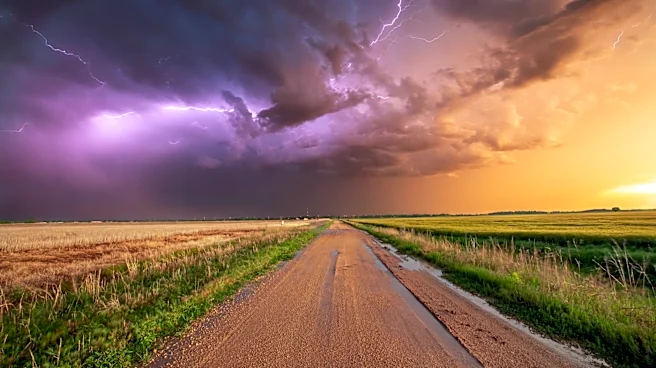
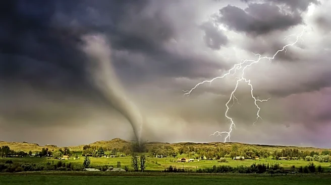
Middle Tennessee and Southern Kentucky are preparing for a line of strong to severe storms expected to move through the region overnight into early Thursday. WSMV reports that the primary threat associated
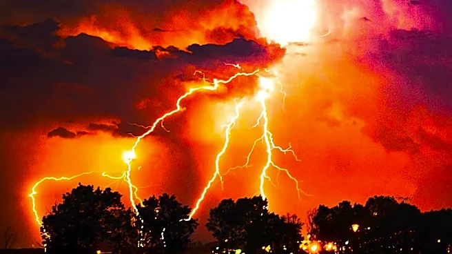
with these storms is intense, potentially damaging wind gusts. The timeline for these severe weather conditions is anticipated to be between 1 a.m. and 7 a.m. Residents are advised to ensure their weather alerts are activated and their phones are not on 'Do Not Disturb' mode due to the overnight timing of the storms. Humidity is currently building in the region, preceding the increased storm chances. The forecast for Wednesday afternoon included partly cloudy skies with highs in the upper 80s to low 90s and a 20% chance of rain, with storms remaining to the west until after midnight. Thursday morning is expected to see heavy downpours, frequent lightning, and damaging wind gusts as the storm line presses across Middle Tennessee, with rain clearing out after 7 AM.
Why It's Important?
The impending severe weather poses significant risks to residents and infrastructure in Middle Tennessee and Southern Kentucky. Damaging wind gusts can lead to power outages, downed trees, and structural damage, disrupting daily life and potentially causing economic losses for affected communities. The overnight timing of these storms increases the danger, as many people may be asleep and less aware of immediate threats, highlighting the importance of reliable alert systems. Businesses could face operational interruptions due to power loss or damage, and transportation may be affected by debris or hazardous driving conditions. The need for residents to take proactive measures, such as enabling weather alerts, underscores the potential for widespread impact and the importance of preparedness in mitigating risks to public safety and property.
What's Next?
Following the severe weather event in the early hours of Thursday, the region can expect a gradual clearing of skies in the afternoon, turning partly cloudy with highs in the upper 80s to low 90s. Thursday evening is forecasted to be beautiful and comfortable, with clear skies, lower humidity, and temperatures dropping into the upper 60s. Friday is anticipated to bring a refreshing start with temperatures in the 60s and clear skies, leading to abundantly sunny skies in the afternoon with highs in the mid-80s and very low humidity, making it an ideal day for outdoor activities. The evening will offer perfect conditions for Friday night football or patio dining, with clear skies and comfortable temperatures. Residents will likely be assessing any damage from the overnight storms and beginning cleanup efforts, while utility companies will work to restore power to any affected areas.
Beyond the Headlines
The recurring nature of severe weather events, particularly those involving damaging winds, highlights broader challenges related to climate patterns and infrastructure resilience in the U.S. The emphasis on personal preparedness, such as activating weather alerts, points to a growing reliance on individual responsibility in the face of increasingly unpredictable weather. This also underscores the critical role of local news and weather services in providing timely and accurate information to the public. Furthermore, the potential for widespread power outages and property damage could prompt discussions on strengthening local infrastructure to withstand such events, including upgrading power grids and implementing more robust building codes. The economic impact of these storms, even if localized, contributes to the larger national conversation about disaster recovery and resilience funding.