What's Happening?
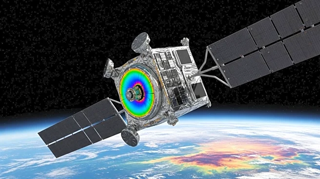
NASA's Landsat program has been pivotal in advancing spectral imaging technology for Earth observation since the launch of Landsat 1 in 1972. Initially equipped with a Multispectral Scanner System (MSS), Landsat 1 set the stage for digital imaging in remote sensing. Over the years, the program has evolved to include more sophisticated instruments, such as the Thematic Mapper (TM) and Enhanced Thematic Mapper Plus (ETM+), which have expanded the number of spectral bands and improved resolution. The latest iterations, Landsat 8 and 9, feature the Operational Land Imager (OLI) and Thermal Infrared Sensor (TIRS), which offer enhanced capabilities for monitoring land use, water management, and environmental changes. These advancements have made Landsat a cornerstone in global efforts to track climate change, urban development, and agricultural trends.
Why It's Important?
The advancements in Landsat's spectral imaging technology have significant implications for various sectors. For environmental scientists, the ability to monitor changes in land use and vegetation health is crucial for understanding climate change impacts and managing natural resources. Urban planners and policymakers benefit from detailed land cover analyses that inform sustainable development strategies. In agriculture, the data helps optimize crop management and assess soil health, contributing to food security. The program's ability to track water usage and detect natural events like wildfires and volcanic eruptions is vital for disaster management and mitigation efforts. Overall, Landsat's contributions to remote sensing have enhanced our ability to make informed decisions about environmental conservation and resource management.
What's Next?
As Landsat continues to evolve, future missions are expected to further refine spectral imaging capabilities, potentially incorporating new technologies for even greater precision in Earth observation. The ongoing development of the Landsat program will likely focus on increasing the resolution and expanding the range of detectable wavelengths, which could improve the accuracy of environmental monitoring and resource management. Collaboration with international space agencies and commercial entities may also enhance data sharing and application, broadening the impact of Landsat's findings. Stakeholders in environmental science, agriculture, and urban planning will continue to rely on Landsat data to address global challenges and drive sustainable practices.
Beyond the Headlines
The ethical and cultural dimensions of Landsat's advancements are noteworthy. The program's ability to provide transparent and accessible data supports global efforts in environmental justice, allowing communities to advocate for sustainable practices and hold industries accountable for ecological impacts. Additionally, the cultural significance of Landsat lies in its role as a public resource, democratizing access to critical information that can empower individuals and organizations to make informed decisions about their environment. As technology advances, the ethical considerations surrounding data privacy and usage will become increasingly important, necessitating ongoing dialogue and policy development to ensure responsible stewardship of remote sensing data.


