






What's Happening?
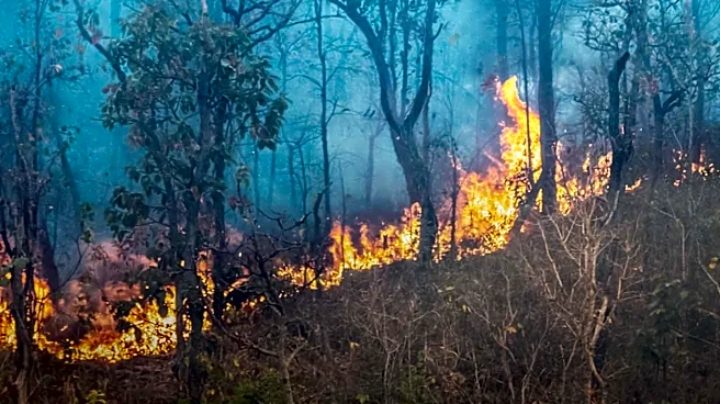
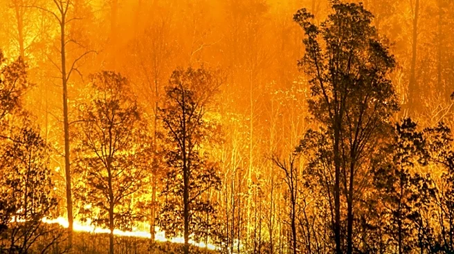
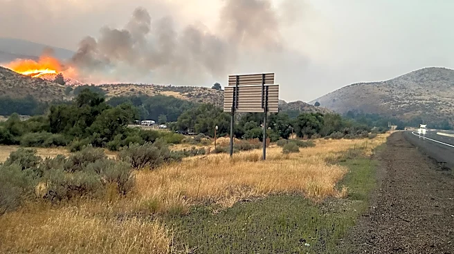
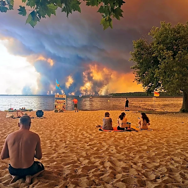
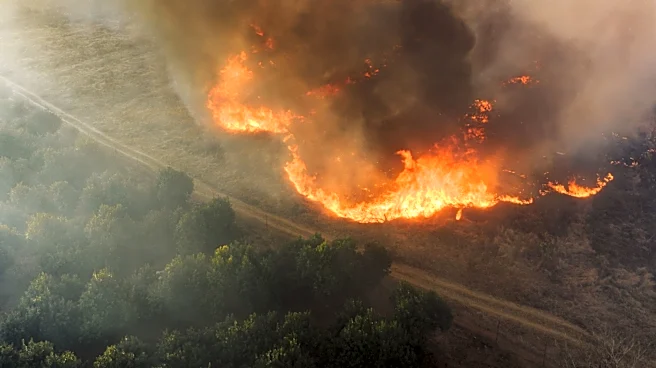
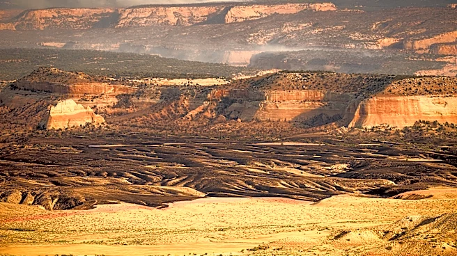
NASA's Aqua satellite has captured images of extensive wildfires in Oregon, which have been exacerbated by dry thunderstorms and extreme drought conditions. The fires, which began on July 15, 2026, have spread rapidly due to gusty winds, affecting central
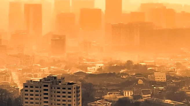
and eastern Oregon. As of July 26, 2026, the fires have burned over one million acres, prompting air quality advisories and evacuation orders in several communities. The largest active fires include the Hay Creek Complex, Brewer, Big Grass, Akawa Butte, and Powder River fires. State officials have invoked Oregon's Emergency Conflagration Act to protect communities from particularly threatening fires.
Why It's Important?
The wildfires in Oregon highlight the increasing frequency and intensity of such events, likely linked to climate change and prolonged drought conditions. These fires pose significant risks to public health, safety, and the environment, with potential long-term impacts on local economies and ecosystems. The situation underscores the need for enhanced wildfire management strategies and climate adaptation measures. The fires also stress the importance of satellite technology in monitoring and responding to natural disasters, providing critical data for emergency services and policymakers.
What's Next?
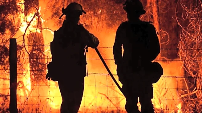
Efforts to contain the fires are ongoing, with over 10,000 firefighters deployed across the state. The National Interagency Fire Center continues to monitor the situation, and further state and federal resources may be mobilized if conditions worsen. The effectiveness of current firefighting strategies will be evaluated, and lessons learned may inform future wildfire response and prevention efforts. Additionally, the impact of these fires on air quality and public health will be closely monitored, with potential implications for future environmental and public health policies.