


What's Happening?
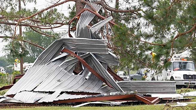
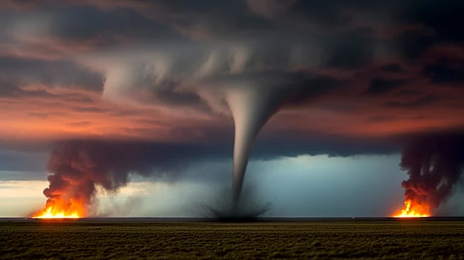
The Storm Prediction Center has issued a high-risk warning for severe weather, including strong to intense tornadoes, across parts of Missouri and Illinois. This severe weather outbreak, ongoing for several days, has already resulted in fatalities and significant
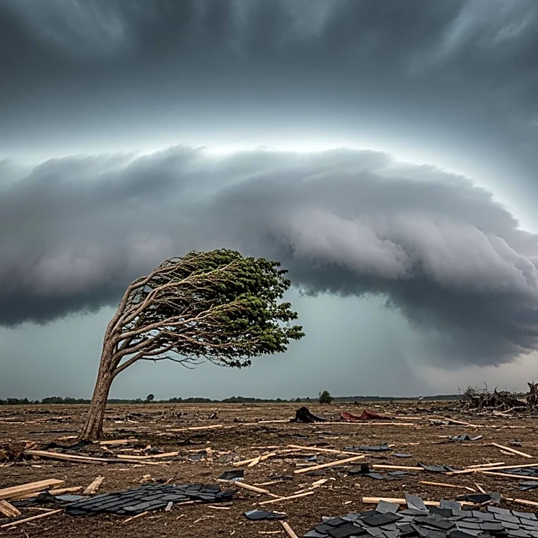
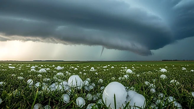
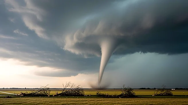
damage. The threat includes very large tornadoes (EF3+), baseball-sized hail, and damaging wind gusts. The severe weather is impacting the Central Plains and the mid-Mississippi River Valley, with a tornado watch in effect for parts of Illinois and Missouri. The severe threat is expected to persist into the overnight hours, increasing the danger of nighttime tornadoes.
Why It's Important?
The severe weather poses a significant threat to millions of residents in the Midwest and Mississippi Valley, with potential for widespread damage and loss of life. The economic impact could be severe, affecting infrastructure, homes, and businesses. The ongoing nature of the weather outbreak highlights the challenges of disaster preparedness and response in the face of increasingly frequent and intense weather events. The situation underscores the importance of having multiple ways to receive alerts and the need for effective emergency management strategies.
What's Next?
The severe weather threat is expected to continue, with the potential for more intense storms and tornadoes. Residents in the affected areas are urged to remain vigilant and prepared for rapidly changing conditions. Emergency services and local authorities will likely continue to monitor the situation closely and respond to any incidents. The weather pattern is expected to bring much-needed rain to some drought-stricken areas, but also poses a risk of flash flooding.