


What's Happening?
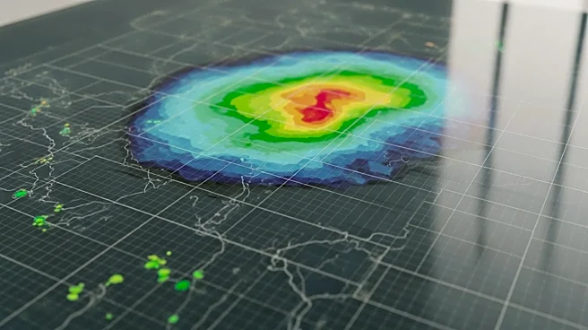
The National Oceanic and Atmospheric Administration (NOAA) has announced a significant update to its 'Cone of Uncertainty' graphic, which is used to track hurricanes. The updated version will continue to show the predicted path of storms but will now
more clearly highlight land-based risks. This change aims to provide better information to help people stay safer during hurricane season by offering a clearer understanding of potential impacts on land.
Why It's Important?
The update to the 'Cone of Uncertainty' graphic is crucial for improving public safety and preparedness during hurricane season. By providing clearer information about land-based risks, NOAA aims to enhance the ability of residents in hurricane-prone areas to make informed decisions about evacuations and other safety measures. This change could potentially save lives and reduce property damage by ensuring that communities are better prepared for the impacts of hurricanes.