What's Happening?
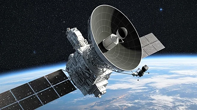
NASA's new Earth-mapping satellite, NISAR, has released its first radar images, showcasing the Maine coast and North Dakota farmland in detail. The satellite, launched in collaboration with the Indian Space Research Organisation (ISRO), will survey the world's land and ice masses, tracking shifts to aid in disaster response. The images are a preview of the satellite's capabilities, with science operations set to begin in November.
Why It's Important?
The NISAR satellite will provide critical data for understanding environmental changes and managing natural disasters. By monitoring land and ice shifts, the satellite will enhance forecasting and response efforts, potentially mitigating the impact of floods, landslides, and volcanic eruptions. The joint mission underscores the value of international collaboration in advancing Earth science and addressing global challenges.


