


What's Happening?
North Texas is experiencing hot and humid conditions as the summer solstice marks the longest day of the year. Temperatures are expected to reach the mid-90s, with a heat index between 100 and 105 degrees. While most of the area will remain dry, there
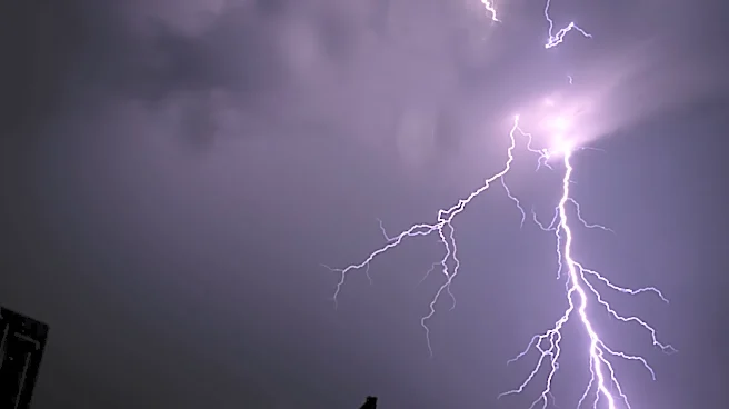
is a possibility of afternoon storms east of I-35, bringing threats of lightning, gusty winds, and localized flooding. Overnight, a complex of storms may develop along a stalled frontal boundary, potentially impacting the region by Monday morning.
Why It's Important?
The weather conditions in North Texas highlight the challenges of managing extreme heat and potential severe weather during the summer months. The high temperatures and humidity can pose health risks, particularly for vulnerable populations. Additionally, the potential for severe storms underscores the need for preparedness and awareness among residents. The weather patterns also have implications for local infrastructure and emergency services, which must be ready to respond to any adverse conditions.
What's Next?
Residents in North Texas should prepare for the possibility of severe weather, particularly during the morning commute on Monday. The Storm Prediction Center has highlighted a marginal risk for severe weather, with strong winds and heavy rainfall as the main threats. As the week progresses, the region is expected to remain hot, with temperatures continuing to reach the 90s and heat index values exceeding 100 degrees. Residents are advised to stay hydrated and take precautions against the heat.