



What's Happening?
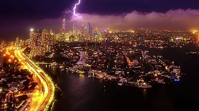
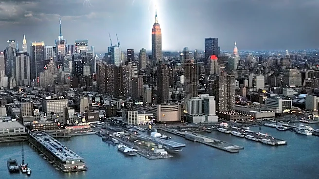
The National Weather Service has issued warnings for several rounds of showers and thunderstorms expected to move across western and north-central New York. These storms, anticipated to occur from late Tuesday morning through the evening, have the potential
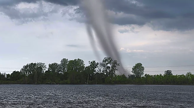
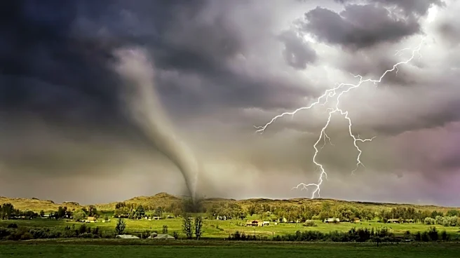
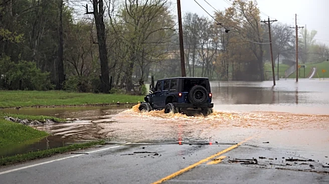
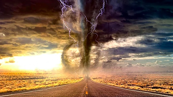
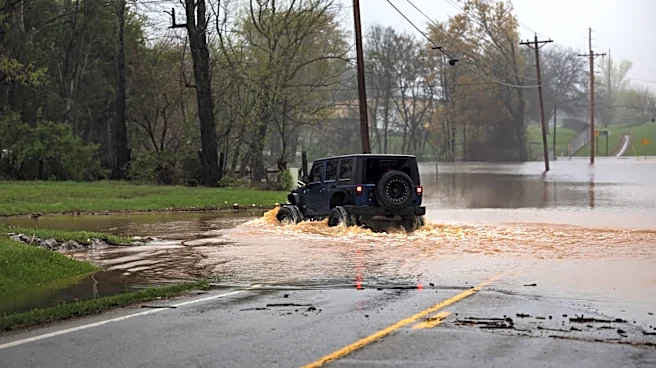
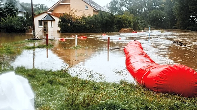
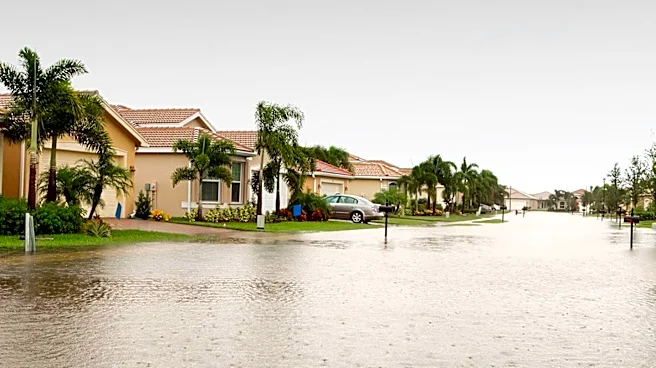
to become severe. The primary threat posed by these storms is damaging winds, which could lead to isolated gusts strong enough to bring down trees and power lines. Additionally, there is a low risk of isolated tornadoes and large hail. Heavy rain accompanying these storms could result in localized flash flooding, particularly in areas with poor drainage. Residents are advised to stay informed about the latest forecasts and be prepared to seek shelter if severe weather conditions develop.
Why It's Important?
The severe weather threat in New York highlights the ongoing challenges posed by extreme weather events, which can have significant impacts on infrastructure and public safety. Damaging winds and potential tornadoes pose risks to power lines and trees, which can lead to power outages and property damage. Flash flooding can disrupt transportation and pose dangers to residents in affected areas. The situation underscores the importance of preparedness and timely communication from weather services to mitigate risks and ensure public safety. The economic implications include potential costs related to infrastructure repair and emergency response efforts.