


What's Happening?
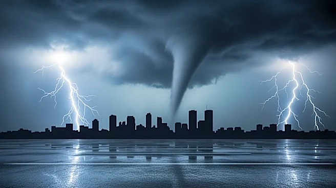
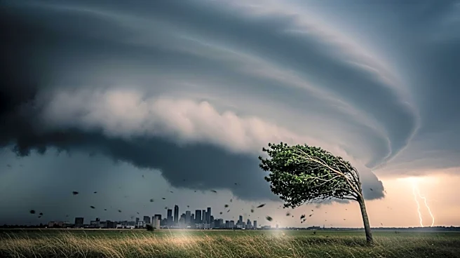
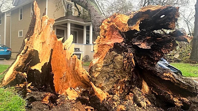
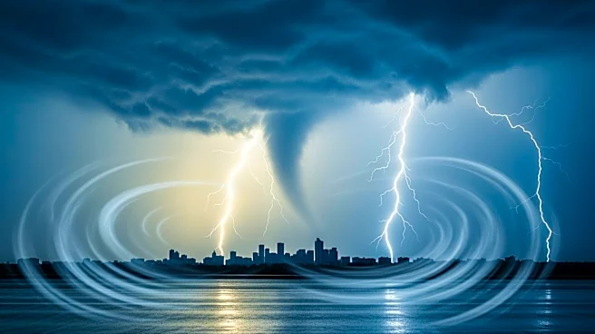
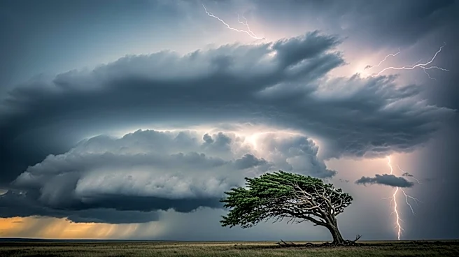
The Chicago area is under threat from severe storms expected to bring damaging winds, large hail, and possible tornadoes. The National Weather Service has issued tornado warnings for several counties, with the greatest risk near and west of Interstate
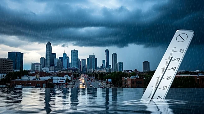
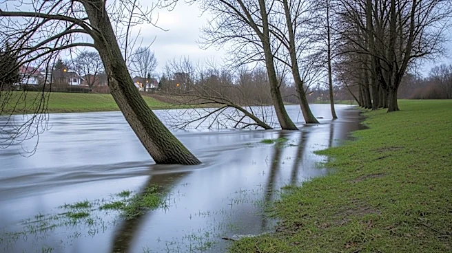
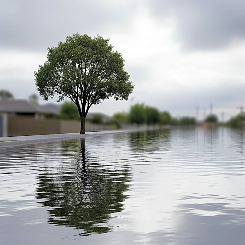
39. The storms are part of a broader system impacting the Midwest, with the potential for widespread wind damage and localized flooding. Rising water levels are a concern, with several rivers expected to reach flood stage in the coming days. ComEd has opened its Emergency Operations Center and is staging additional crews in anticipation of power outages.
Why It's Important?
The severe weather poses a significant threat to the Chicago area, with the potential for tornadoes and damaging winds to cause widespread damage to homes, businesses, and infrastructure. The risk of flooding adds to the potential for disruption, particularly in areas already saturated by recent rainfall. The situation highlights the importance of emergency preparedness and the need for residents to stay informed and ready to take action if necessary.
What's Next?
After the storms pass, the weather is expected to turn cooler and drier over the weekend. However, residents are advised to remain cautious and prepared for potential flooding and power outages. Local authorities and emergency services are on high alert, ready to respond to any incidents. The public is encouraged to stay informed through reliable weather updates and to follow any instructions from local officials.