
What's Happening?
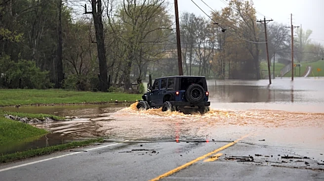
The Midwest and East Coast are bracing for severe weather conditions, including damaging winds and flash flooding, starting Sunday evening and continuing through Tuesday evening. The Great Lakes and Ohio
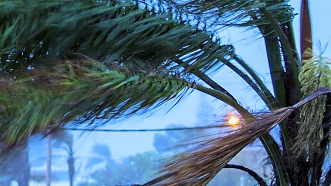
Valley regions are expected to face the greatest risk as thunderstorms bring hail and wind gusts up to 85 miles per hour. The severe weather is anticipated to extend into the Northeast and mid-Atlantic regions, impacting travel along the Interstate 95 corridor. Prolonged heavy rains are expected to linger, raising the risk of flash flooding from Buffalo to Boston. The National Weather Service has warned of potential power outages and felled tree limbs due to the storm's intensity.
Why It's Important?
This severe weather event poses significant risks to public safety and infrastructure across a large portion of the United States. The potential for flash flooding and damaging winds could disrupt transportation, cause power outages, and lead to property damage. The economic impact could be substantial, affecting businesses and communities in the affected regions. Additionally, the timing of the storms, coinciding with weekday commutes, could exacerbate travel disruptions. The event highlights the ongoing challenges posed by extreme weather patterns, which are becoming more frequent and severe, potentially linked to broader climate change trends.
What's Next?
As the storm system progresses, emergency services and local governments are likely to be on high alert, preparing for potential evacuations and emergency responses. Residents in the affected areas are advised to stay informed through weather updates and heed any warnings or advisories issued by authorities. The aftermath of the storms may require significant recovery efforts, including restoring power and clearing debris. The situation underscores the importance of preparedness and resilience planning in the face of increasingly volatile weather conditions.