






What's Happening?
Researchers from Japan have demonstrated that incorporating hourly wind observations from an Antarctic radar significantly improves weather forecasts and atmospheric river predictions in the Southern Hemisphere. Weather forecasts in this region are typically
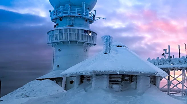
less accurate than those in the Northern Hemisphere due to a scarcity of observations over Antarctica and the surrounding Southern Ocean. This limitation often hinders forecasting models from accurately predicting the movement of weather systems, particularly atmospheric rivers, which can cause heavy rain, snowfall, flooding, and strong winds across Australia, New Zealand, South America, and Antarctica. The study, published in the journal Scientific Reports, utilized wind observations from the Program of the Antarctic Syowa Mesosphere–Stratosphere–Troposphere/Incoherent Scatter (PANSY) Radar at Japan's Syowa Station in Antarctica. This radar provides continuous wind measurements, offering more frequent data than traditional weather balloons or radiosondes, which are constrained by financial and operational challenges in Antarctica.
Why It's Important?
Improving the accuracy of Southern Hemisphere weather forecasts has critical implications for disaster preparedness, transportation, and scientific operations. Atmospheric rivers pose significant threats to lives and property, and more precise predictions can enable communities to better prepare for hazardous weather events. For the U.S., while directly impacting the Southern Hemisphere, advancements in global weather modeling can indirectly benefit long-range forecasting capabilities and climate research, as atmospheric patterns are interconnected worldwide. Enhanced data from Antarctica can contribute to a more comprehensive understanding of global climate systems, which is vital for addressing climate change and its potential impacts on U.S. coastal regions and agricultural sectors. The study also highlights the value of continuous, high-temporal-resolution observations in data-sparse regions, a principle that could be applied to other remote areas relevant to U.S. scientific and defense interests.
What's Next?
The findings suggest that integrating Antarctic radar observations into operational numerical weather prediction systems could become a standard practice, leading to more reliable forecasts. Researchers will likely continue to explore how to best assimilate these continuous observations with other data sources to further refine prediction models. The success of this approach may also encourage the deployment of similar continuous observation technologies in other data-sparse regions globally, potentially enhancing weather forecasting capabilities worldwide. Furthermore, the improved reanalysis datasets resulting from these observations could lead to a better understanding of the Antarctic Ice Sheet's surface mass balance under climate change, offering crucial insights for climate scientists and policymakers globally, including those in the U.S. concerned with sea-level rise and climate modeling.
Beyond the Headlines
The study underscores a broader challenge in global weather forecasting: the uneven distribution of observational data. While advanced nations have extensive weather monitoring networks, vast regions, particularly polar areas and oceans, remain under-observed. This disparity creates significant blind spots in global weather models, affecting the accuracy of predictions even in well-monitored areas due to interconnected atmospheric systems. The ethical implication lies in ensuring that the benefits of improved forecasting are equitably distributed, especially to vulnerable communities in the Southern Hemisphere that are disproportionately affected by extreme weather events. From a scientific perspective, this research highlights the ongoing effort to leverage technological advancements to overcome geographical limitations, pushing the boundaries of our understanding of Earth's complex climate system and its future trajectory.