






What's Happening?
San Diego County is experiencing a prolonged period of extreme heat, with temperatures expected to remain 5 to 10 degrees above average throughout the week. A Heat Advisory is in effect for inland valleys and mountains until Tuesday morning, followed
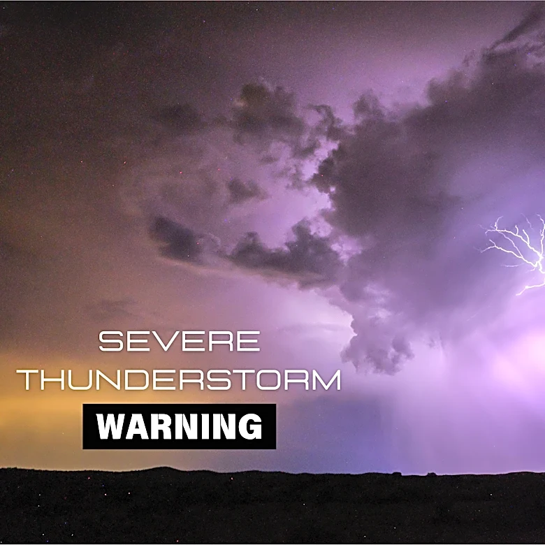
by an Extreme Heat Watch for coastal areas, valleys, and mountains through Friday evening. Deserts are under an Extreme Heat Warning until Friday night, with major to extreme HeatRisk continuing. In addition to the heat, monsoonal moisture is gradually returning to the region. While limited through the weekend, increasing moisture by Monday brings a slight chance of isolated afternoon showers and thunderstorms over the mountains and adjacent deserts. These storms could produce locally heavy rain, gusty winds, and lightning. A southerly swell is also anticipated to build by midweek, leading to elevated surf, strong rip currents, and potential minor coastal flooding.
Why It's Important?
The sustained extreme heat poses significant health risks to residents, particularly children, older adults, and pets, necessitating precautions such as hydration and limiting strenuous outdoor activities. The elevated overnight temperatures, which offer little relief, further exacerbate these risks. The return of monsoonal moisture, while potentially bringing some cooling, also introduces the threat of localized severe weather, including heavy rainfall and lightning, which can lead to flash flooding and fire hazards in dry areas. The anticipated increase in surf and rip currents will create hazardous conditions for beachgoers and could impact coastal infrastructure. This combination of heat and potential severe weather underscores the vulnerability of the region to climate-related events and the importance of public awareness and preparedness for diverse weather phenomena.
What's Next?
The Extreme Heat Watch will continue through Friday evening for most of San Diego County, with the Extreme Heat Warning for deserts also lasting until Friday night. Residents are advised to continue monitoring weather updates and adhere to safety guidelines, including staying hydrated and avoiding prolonged exposure to the sun. Monsoonal moisture is expected to increase throughout the week, bringing a higher chance of isolated afternoon showers and thunderstorms to the mountains and deserts, particularly later in the week. Coastal areas will see a southerly swell build by Wednesday and Thursday, leading to elevated surf and increased rip current risks. Authorities will likely continue to issue advisories and warnings as conditions evolve, emphasizing the need for public vigilance and adherence to safety protocols.
Beyond the Headlines
The recurring pattern of extreme heat and monsoonal activity in San Diego County highlights broader climate trends impacting the Southwestern United States. The intensification and prolongation of heatwaves, coupled with erratic monsoon seasons, suggest a shifting climate that demands long-term adaptation strategies. This includes not only immediate public health responses but also considerations for urban planning, water management, and infrastructure resilience. The interplay between prolonged drought conditions and sudden, intense rainfall events can exacerbate issues like flash flooding and erosion, posing challenges to ecosystems and human settlements. The need for sustainable practices and robust emergency preparedness systems becomes increasingly critical as these weather patterns become more frequent and severe, influencing everything from agricultural practices to tourism and local economies.