
What's Happening?
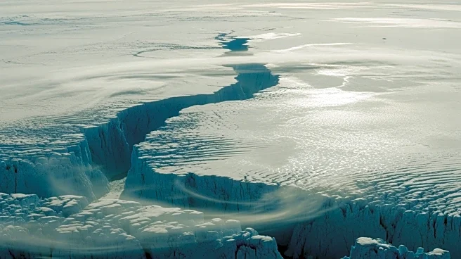
A Copernicus Sentinel-2 satellite has captured a breathtaking image of Greenland's mountains, highlighting their significant role in shaping local climate patterns. The image shows how these mountains influence
wind and weather, direct the movement of the Greenland ice sheet, and contribute to global sea-level rise. The Sentinel-2 mission, part of the EU's Copernicus program, aims to monitor environmental changes using high-resolution imagery.
Why It's Important?
Greenland's ice sheet is a critical component of the global climate system, and its dynamics have far-reaching implications for sea-level rise and climate change. Understanding how Greenland's topography affects ice movement and meltwater flow is essential for predicting future changes in the ice sheet and their impact on global sea levels. The data collected by the Sentinel-2 mission provides valuable insights into these processes, supporting efforts to mitigate and adapt to climate change.