


What's Happening?
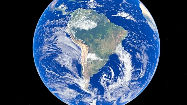
Recent satellite measurements have detected a significant swell of warm water spreading across the Pacific Ocean, which NASA indicates could signal the onset of an El Niño event later this year. The U.S.-European Sentinel-6 Michael Freilich satellite has
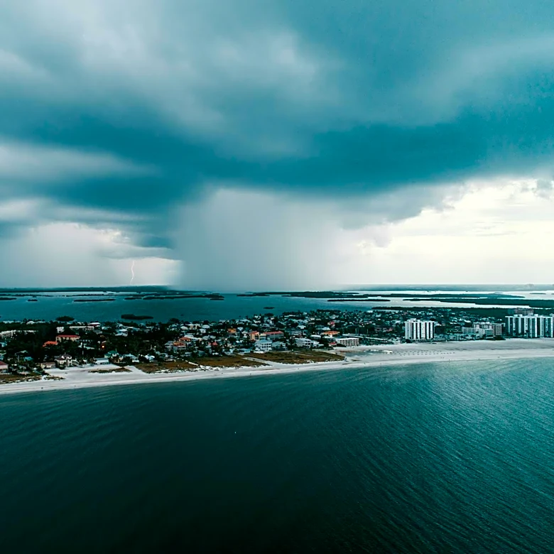
observed this mass of warm water stretching across the equatorial Pacific, moving towards South America. This phenomenon is characterized by higher-than-normal ocean surfaces, indicating rising ocean temperatures. El Niño, part of the El Niño–Southern Oscillation (ENSO) cycle, occurs irregularly every two to seven years, affecting ocean temperatures and disrupting wind and rainfall patterns across the tropics. During El Niño events, trade winds weaken, pushing warm water eastward towards the Americas, leading to warmer, drier conditions in parts of the Northern U.S. and Canada, and wetter weather across the U.S. Gulf Coast and Southeast. The current observations focus on 'Kelvin waves,' large pulses of warm water moving eastward along the equator, which are tracked by the satellite through subtle changes in sea level.
Why It's Important?
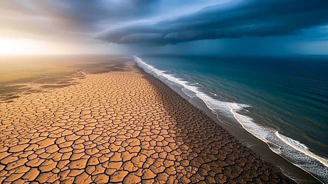
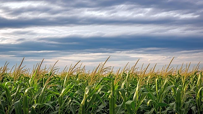
The potential emergence of a super El Niño could have significant global impacts, particularly on weather patterns and climate conditions. In the U.S., this could mean altered weather conditions, such as increased rainfall in the Gulf Coast and Southeast, and drier conditions in the Northern regions. Additionally, El Niño influences hurricane activity, typically reducing the number of storms in the Atlantic while increasing them in the Pacific. These changes can have profound effects on agriculture, water resources, and disaster preparedness. The economic implications are also considerable, as shifts in weather patterns can affect crop yields, energy consumption, and infrastructure resilience. Understanding and predicting these changes are crucial for governments and industries to mitigate potential adverse effects.
What's Next?
As the El Niño event develops, scientists and meteorologists will continue to monitor the situation closely. The progression of Kelvin waves and their impact on sea levels and temperatures will be key indicators of the event's strength and duration. Governments and agencies may need to prepare for potential weather-related challenges, such as flooding or droughts, depending on regional impacts. The scientific community will likely focus on refining predictive models to better anticipate the effects of such climate phenomena, aiding in more effective planning and response strategies.