
What's Happening?
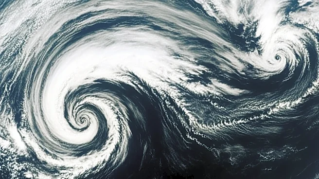
NASA's Terra satellite, equipped with the Moderate Resolution Imaging Spectroradiometer (MODIS), captured a striking image of cloud formations over the Gulf of Alaska on March 19, 2026. This marked the final
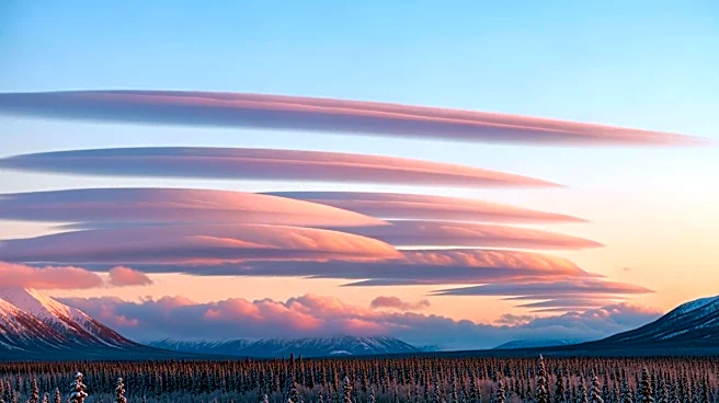
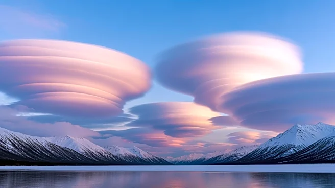
day of astronomical winter, characterized by below-normal temperatures and moderate to heavy snowfall in southern Alaska. The atmospheric conditions were influenced by a low-pressure system over the Gulf of Alaska and a high-pressure system over eastern Russia and northern Alaska, which caused cold Arctic air to flow southeast over the Alaska Peninsula. This setup led to the formation of cloud streets, visible as parallel bands aligned with the wind direction. These cloud streets occur when cold, dry air moves over warmer ocean water, gaining moisture and forming clouds. The image also captured von Kármán vortex streets, formed by winds diverted around elevated areas like islands, and a polar low, a small cyclonic formation with tropical storm-force winds.
Why It's Important?
The satellite imagery provides valuable insights into atmospheric dynamics and weather patterns in the region. Understanding these cloud formations and their causes is crucial for meteorologists and climate scientists studying weather systems and climate change impacts. The data can help improve weather forecasting models and enhance preparedness for extreme weather events. The polar low observed in the image, with its tropical storm-force winds, highlights the potential for severe weather conditions in the area, which can affect local communities and ecosystems. Additionally, the study of such phenomena contributes to broader climate research, offering clues about how climate change might alter weather patterns in the future.
What's Next?
As the weather in Alaska transitions from winter to spring, meteorologists will continue to monitor atmospheric conditions and weather patterns. The end of April is expected to bring more unsettled and wet weather to Southcentral and Southeast Alaska due to an approaching atmospheric river. This ongoing monitoring is essential for providing accurate weather forecasts and warnings to residents and stakeholders in the region. Researchers will also analyze the data collected from this and similar events to refine climate models and improve understanding of the interactions between atmospheric systems and climate change.