


What is the story about?
What's Happening?
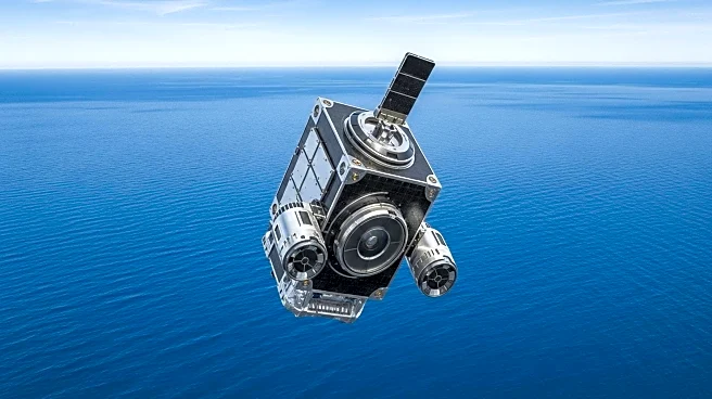
NASA is preparing to launch the Sentinel 6B satellite, a successor to the Sentinel 6 Michael Freilich satellite, which was named after the late oceanographer Michael Freilich. The Sentinel 6B is set to launch next month and will begin providing data in early 2026 after a checkout and calibration phase. This satellite is part of a long series of ocean topography satellites that measure ocean height with high precision, monitoring how oceans store and redistribute heat, water, and carbon in the climate system. The Sentinel 6B will work concurrently with its predecessor for a time to ensure data accuracy, continuing a legacy of ocean monitoring that dates back to 1992.
Why It's Important?
The launch of Sentinel 6B is crucial for maintaining accurate and timely oceanographic data, which is vital for global trade and safety. Ocean topography data helps forecast ocean currents, storms, and high winds, which are essential for maritime navigation and safety. Accurate forecasts can prevent tragedies by suggesting safer routes for ships, similar to how weather forecasts aid air travel. Additionally, the satellite's ability to monitor inland waterways can help predict flash floods and storm surges, enabling faster emergency responses and preventive measures. The collaboration between European and U.S. space programs underscores the importance of shared data in addressing global challenges.
What's Next?
The Sentinel 6B satellite is expected to launch from Vandenberg Space Force Base in November 2025. Once operational, it will provide critical data for ocean and climate monitoring, continuing the work of its predecessor. The satellite will also contribute to the broader understanding of climate patterns and changes, aiding scientists in making better forecasts. As the satellite begins its mission, stakeholders in maritime industries, emergency response teams, and environmental agencies will likely utilize its data for planning and decision-making.
Beyond the Headlines
The Sentinel 6B satellite represents a significant advancement in the field of oceanography and climate science. Its precise measurements of ocean surface height can lead to improved models of ocean circulation and climate change impacts. The satellite's data will also enhance the understanding of how oceans interact with the atmosphere, influencing weather patterns and climate systems. This mission highlights the ongoing commitment to international collaboration in space exploration and environmental monitoring, which is essential for addressing global challenges.