





What's Happening?
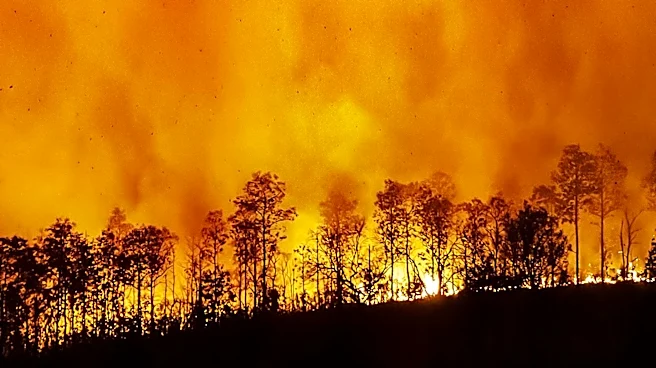
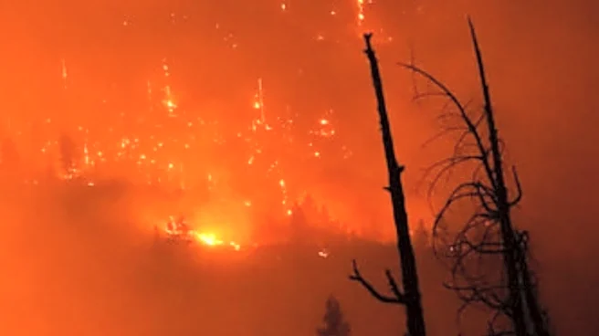
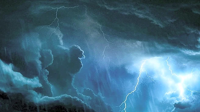
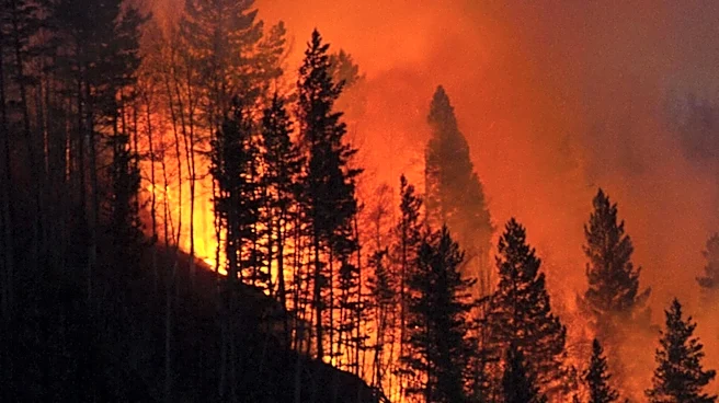
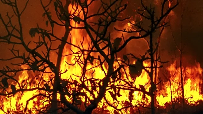
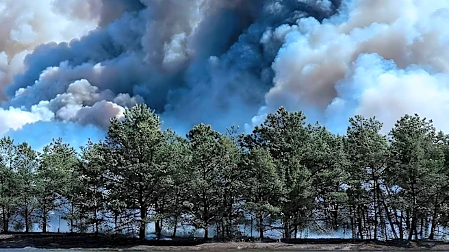
A massive wildfire in southwest France has created the country's first recorded pyrocumulonimbus cloud, a rare weather phenomenon where a fire's smoke column becomes a thunderstorm. This cloud generated lightning that ignited additional fires, compounding
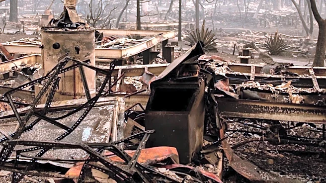
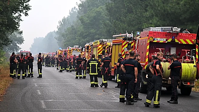
the original blaze. The wildfire, which erupted near Saumos, has burned over 420 square kilometers of land, destroyed homes, and forced the evacuation of 220,000 people. The pyrocumulonimbus cloud, typically seen in North America and Australia, has introduced erratic winds and further complicated firefighting efforts.
Why It's Important?
The formation of a pyrocumulonimbus cloud in France is a significant development, highlighting the increasing severity of wildfires in Europe. This phenomenon not only intensifies the original fire but also creates new challenges for firefighting efforts, as it can generate its own weather patterns. The event underscores the broader impacts of climate change, as Europe experiences more frequent and severe heatwaves and droughts, conditions that contribute to extreme wildfires. The situation calls for enhanced fire management strategies and international cooperation to address the growing threat of wildfires.
What's Next?
Firefighters in France are likely to continue battling the blaze, with efforts focused on containing the fire and preventing further spread. The event may prompt a review of current firefighting techniques and the development of new strategies to deal with pyrocumulonimbus clouds. Additionally, there may be increased research into the effects of climate change on wildfire behavior in Europe. Policymakers could also consider implementing stricter regulations and investing in technologies to mitigate the risk of future wildfires.