




What's Happening?
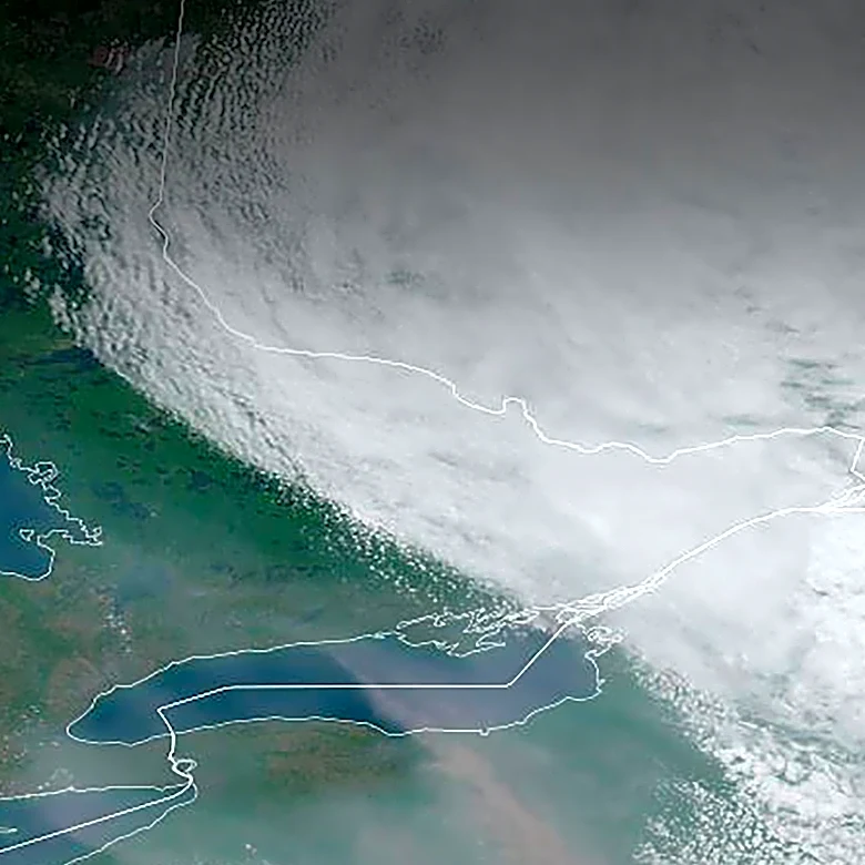
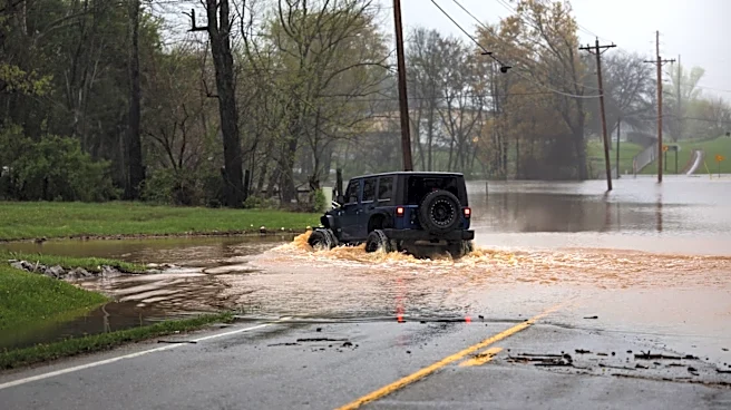
The New York City area is currently under a flood watch due to severe weather conditions, including heavy rain and thunderstorms, expected to affect the region from Tuesday through Wednesday. The National Weather Service has issued a warning for potential
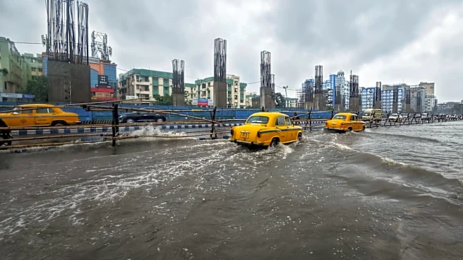
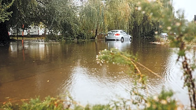
life-threatening flash flooding, with rainfall rates possibly reaching 2-3 inches per hour. The flood watch covers the Tri-State area, including northeastern New Jersey, southwestern Connecticut, and the Lower Hudson Valley. The severe weather is attributed to a slow-moving low-pressure system, which could also bring damaging wind gusts of 60-70 miles per hour, posing risks of power outages due to downed trees and power lines.
Why It's Important?
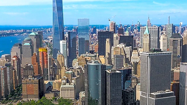
The flood watch highlights the vulnerability of urban areas like New York City to severe weather events, which can disrupt daily life and pose significant safety risks. Flash flooding can lead to dangerous conditions on roads, damage to infrastructure, and potential displacement of residents in low-lying areas. The situation underscores the importance of emergency preparedness and the need for robust infrastructure to manage stormwater effectively. The economic impact could be substantial, affecting businesses, transportation, and public services. Residents are advised to stay informed and take necessary precautions to ensure their safety.
What's Next?
As the severe weather continues, local authorities and emergency services are on high alert to respond to any incidents of flooding or damage. The New York City Office of Emergency Management has issued a travel advisory, urging residents to prepare for potential disruptions. The situation will be closely monitored, with updates provided by the National Weather Service and local news outlets. Residents are encouraged to sign up for emergency alerts and check on vulnerable neighbors. The aftermath of the storm will likely involve cleanup efforts and assessments of any damage to infrastructure and property.