

What's Happening?
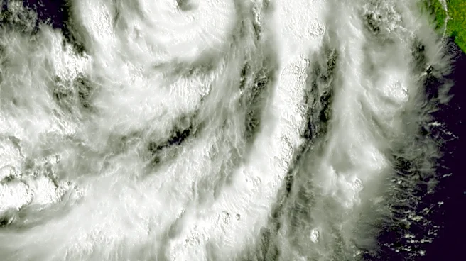
Western Washington is bracing for a significant weather event this Saturday night, as a strengthening Pacific weather system, fueled by the remnants of former typhoon Cempaka, is set to bring the wettest conditions of the fall season. The storm, which
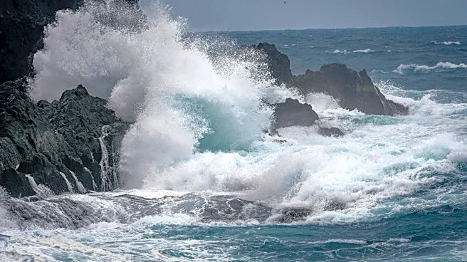
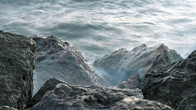
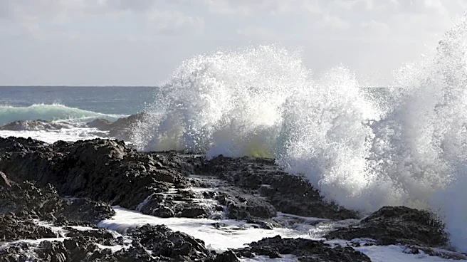
exhibits characteristics of an atmospheric river, is expected to sweep onshore, bringing strong blustery winds and rough seas, particularly along the outer coast and north of Everett. Rainfall totals could reach up to two inches along the coast and four inches in the Olympics and Cascades, with elevated snow levels around 5,000 feet. Wind gusts are forecast to hit up to 60 mph along the coast and 50 mph in the North Sound, raising concerns for potential local power outages. Waves along the coast could reach 25 feet, posing risks of rapid beach run-up and sneaker waves carrying debris. Public works authorities are urging residents to clear storm drains to prevent ponding on roadways due to increased rain runoff and falling leaves.
Why It's Important?
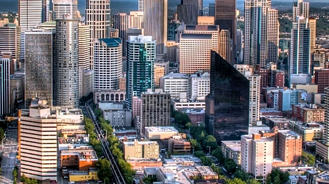
This severe weather system carries significant implications for residents and infrastructure across western Washington. The potential for widespread power outages could disrupt daily life, impact businesses, and strain emergency services. The combination of heavy rainfall and strong winds increases the risk of property damage, particularly from falling trees and debris. Coastal communities face hazards from high waves and potential erosion, while inland areas could experience localized flooding due to clogged storm drains. Although major river flooding is not anticipated due to previously dry conditions, the event serves as a critical reminder of the region's vulnerability to powerful Pacific storms. The need for public vigilance in clearing storm drains highlights the community's role in mitigating immediate impacts and protecting local infrastructure.
What's Next?
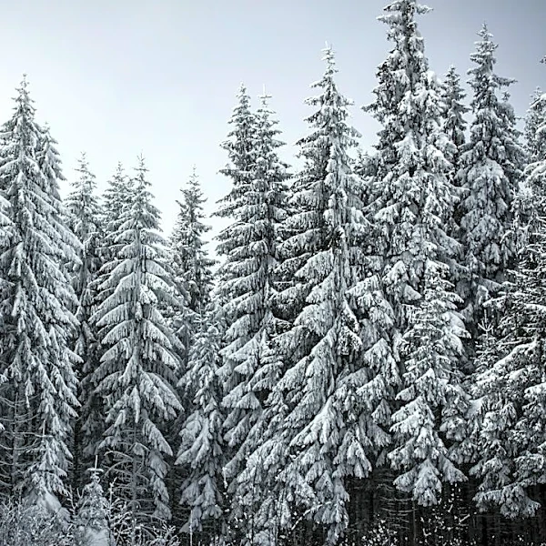
The weather system is expected to move across the Cascades into eastern Washington by Sunday morning. Following the main storm, Sunday will bring post-system showers and cooler temperatures, with highs in the 50s. Showers are projected to continue into Monday, accompanied by a drop in mountain snow levels to approximately 4,000 feet, making snow likely at Stevens and White Passes, though not at Snoqualmie Pass. Authorities will be monitoring river levels, particularly the Skokomish River in Mason County, although no significant flooding is currently expected. Residents are advised to stay updated on weather alerts from the National Weather Service, especially those living near or commuting through river valleys in the North Sound, as November historically remains the wettest month of the year.
Beyond the Headlines
The influence of former typhoon Cempaka on this Pacific weather system underscores the increasing interconnectedness of global weather patterns and their localized impacts. The phenomenon of atmospheric rivers, which are long, narrow regions in the atmosphere that transport most of the water vapor outside of the tropics, is becoming a more frequent subject of study due to their role in extreme weather events. This event highlights the broader challenges of climate change, which can intensify such weather phenomena, leading to more severe and unpredictable storms. The call for public participation in clearing storm drains also points to the growing emphasis on community resilience and preparedness in the face of evolving environmental threats, moving beyond governmental responses to include individual and collective action in safeguarding communities.