


What's Happening?
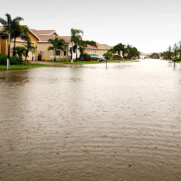
Southern California is currently experiencing heavy rainfall from the first atmospheric river of the season, leading to concerns about potential debris flows and flooding, particularly in fire-scarred areas. The storm began inundating roads in San Luis
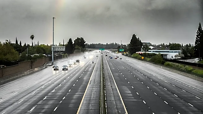
Obispo and Santa Barbara counties overnight, with a section of Highway 1 in Santa Barbara County closing. The National Weather Service's Oxnard office reported rainfall rates exceeding an inch per hour in some areas, prompting multiple flash flood warnings. A flash flood warning was in effect for eastern Malibu, North Hollywood, Burbank, Van Nuys, Universal City, Griffith Park, Hollywood, Encino, Beverly Hills, Northridge, Culver City, Santa Monica, Santa Clarita, Woodland Hills, and Venice until noon. Authorities have issued evacuation warnings for residents in Los Angeles County whose properties are at heightened risk of mud and debris flows due to recent fires, with these warnings in place through Friday morning. The California State Operations Center has been activated to coordinate a statewide response.
Why It's Important?
This atmospheric river event is significant due to its potential to cause widespread disruption and danger across Southern California. The rapid rainfall rates, especially over areas recently affected by wildfires, increase the risk of dangerous mudslides and debris flows, threatening homes and infrastructure. The activation of the State Operations Center and the prepositioning of emergency resources highlight the severity of the situation and the proactive measures being taken to protect residents. The storm's impact on transportation, including highway closures and stalled vehicles, underscores its immediate economic and logistical consequences. Furthermore, the event occurs amidst a historically strong El Niño, which is expected to bring a wetter-than-normal winter to Southern California, suggesting that such extreme weather events may become more frequent, posing ongoing challenges for disaster preparedness and urban planning.
What's Next?
The heavy rain is expected to continue, with forecasters calling for rainfall rates of a half-inch per hour, and up to 0.75 to an inch per hour on south-facing slopes. There is also a 20% chance of thunderstorms, which could bring heavy downpours, lightning, and strong winds. Residents in areas under evacuation warnings are advised to prepare to leave. Emergency services, including fire department personnel and swift water rescue teams, remain on high alert. The State Operations Center will continue to coordinate the response, focusing on mitigating flood risks and ensuring public safety. The long-term implications include potential damage to infrastructure, increased erosion in fire-scarred regions, and the need for ongoing recovery efforts. The El Niño pattern suggests that Southern California should brace for a potentially wet winter season.
Beyond the Headlines
The recurring nature of these intense weather events in California, particularly in conjunction with El Niño, points to a broader pattern of climate variability and change. The vulnerability of fire-scarred landscapes to mudslides highlights the interconnectedness of environmental disasters; wildfires create conditions that amplify the risks associated with heavy rainfall. This situation also brings to light the challenges of urban development in areas prone to both wildfires and flash floods, prompting questions about land use planning and resilient infrastructure. The need for effective public communication and evacuation protocols is paramount, especially for vulnerable populations. The event serves as a reminder of the complex and evolving risks faced by communities in climate-sensitive regions.