
What's Happening?
The 3D-LAKES project has developed a comprehensive three-dimensional global lake and reservoir bathymetry map using ICESat-2 altimetry and Landsat imagery. The project evaluated the accuracy of A-E relationships and bathymetry maps against in-situ measurements from various U.S. agencies. The study found that the 3D-LAKES dataset outperformed existing global datasets like GLOBathy19 and GRDL33 in terms of accuracy. The project aims to provide detailed bathymetric data for over half a million lakes and reservoirs, although limitations exist for very small lakes due to data resolution constraints.
Why It's Important?
Accurate bathymetric data is crucial for understanding water resource management, environmental monitoring, and climate change impacts. The 3D-LAKES project provides a valuable tool for researchers and policymakers to assess water bodies' health and plan for sustainable management. The project's findings could lead to improved models for predicting water levels and understanding sediment deposition, which are vital for ecological and hydrological studies.
Beyond the Headlines
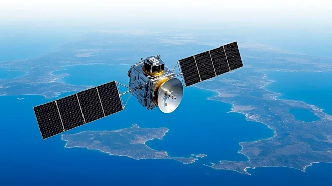
The project highlights the potential of satellite technology in enhancing environmental data collection. The integration of ICESat-2 and Landsat imagery represents a significant advancement in remote sensing capabilities, offering a more detailed understanding of global water bodies. This approach could pave the way for future innovations in environmental monitoring and data accuracy.