
What's Happening?
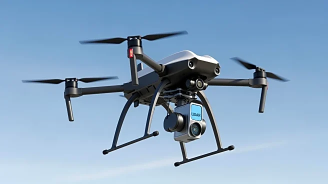
DJI has introduced the Zenmuse L3, its first long-range, high-precision LiDAR payload designed to enhance data collection accuracy and efficiency. The Zenmuse L3 is compatible with the DJI M400 drone and integrates
high-performance LiDAR, dual 100MP tilt mapping cameras, and a high-precision inertial navigation system. This payload is aimed at improving survey missions by providing robust data collection capabilities. Additionally, DJI offers in-house survey support and training to ensure users can maximize the potential of the Zenmuse L3 while adhering to regulatory requirements.
Why It's Important?
The introduction of the Zenmuse L3 LiDAR payload by DJI represents a significant advancement in drone technology, particularly for industries reliant on precise data collection, such as surveying and mapping. By offering enhanced accuracy and efficiency, the Zenmuse L3 can potentially reduce operational costs and improve the quality of data collected. This development is likely to benefit businesses and government agencies involved in infrastructure development, environmental monitoring, and urban planning, as they can leverage the advanced capabilities of the Zenmuse L3 for more informed decision-making.