



What's Happening?
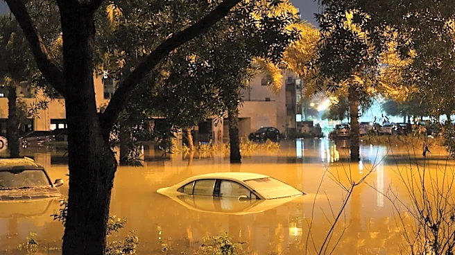
The National Weather Service (NWS) in Tucson, Arizona, issued a flash flood warning on August 4, 2026, for South Central Cochise County. The warning, effective until 11:00 PM MST, was prompted by thunderstorms producing heavy rainfall in the area. Between
1 and 1.5 inches of rain have already fallen, with additional rainfall expected. The affected areas include the city of Douglas, Bisbee-Douglas Airport, and Pirtleville. The warning highlights the potential for flash flooding in small creeks, streams, urban areas, highways, and low-lying regions. The warning is part of a series of severe weather alerts issued in the past month, indicating a heightened period of weather-related risks in the region.
Why It's Important?
Flash floods pose significant risks to communities, infrastructure, and transportation networks. The warning underscores the importance of preparedness and timely response to severe weather events. Residents in the affected areas are advised to remain vigilant and take necessary precautions to ensure safety. The frequency of severe weather alerts in recent months may indicate broader climatic patterns affecting the region, potentially linked to climate change. This situation highlights the need for robust emergency management systems and infrastructure resilience to mitigate the impact of such natural disasters.
What's Next?
Residents and local authorities will need to monitor weather updates and be prepared for potential evacuations or emergency measures. The NWS will continue to provide updates as the situation develops. In the longer term, there may be discussions on improving flood management infrastructure and community preparedness programs to better handle future weather events. Policymakers and environmental agencies might also explore strategies to address the underlying causes of increased severe weather incidents, including climate adaptation and mitigation efforts.