





What's Happening?
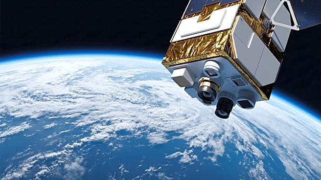
An intercomparison study of liquid cloud droplet size retrievals from three instruments aboard the Plankton, Aerosol, Cloud, and ocean Ecosystem (PACE) mission—SPEXone, HARP-2, and OCI—has revealed differences in their measurements. SPEXone and HARP-2, which
use hyperspectral and hyper-angular polarization observations respectively, showed the closest agreement in retrieving cloud droplet effective radius (CER) and cloud effective variance (CEV). OCI, which relies on radiometric measurements in the visible and shortwave infrared, generally retrieved larger CER values compared to both polarimeters. Over a one-year period (June 2024 - May 2025), the mean difference between SPEXone and HARP-2 CER was 1.45 µm over land and 0.81 µm over ocean. The mean difference between SPEXone and OCI was -2.06 µm over land and -2.67 µm over ocean, while the difference between HARP-2 and OCI was -3.51 µm over land and -3.47 µm over ocean. Globally, the annual CER statistical distribution peaked near 7 µm for SPEXone and HARP-2, but around 10 µm for OCI. These findings suggest that polarized retrievals consistently yield a substantially smaller CER than conventional bi-spectral retrievals, even when comparing different polarized instruments using distinct algorithms. The discrepancies may stem from variations in vertical sensitivity, cloud inhomogeneity, or 3D radiative transfer effects.
Why It's Important?
The observed discrepancies in cloud droplet size retrievals among PACE mission instruments have significant implications for climate science and atmospheric modeling. Accurate measurements of cloud properties, such as cloud droplet effective radius, are crucial for understanding Earth's energy balance, precipitation processes, and the overall impact of clouds on climate change. If different instruments provide varying data for the same phenomenon, it introduces uncertainty into climate models, potentially affecting predictions of future climate scenarios. The fact that polarized retrievals consistently yield smaller CER values than conventional bi-spectral retrievals suggests a fundamental difference in how these methods perceive cloud microphysics. This could lead to a re-evaluation of existing cloud datasets and the methodologies used to collect them. For U.S. climate research institutions and agencies like NASA, which operates the PACE mission, these findings necessitate further investigation to reconcile the differences and ensure the reliability of satellite-derived climate data. The accuracy of these measurements directly influences policy decisions related to environmental regulations and climate mitigation strategies, as they form the basis for scientific understanding of atmospheric processes.
What's Next?
Further research will likely focus on understanding the root causes of the observed discrepancies between the PACE mission instruments. This could involve detailed analyses of the retrieval algorithms, instrument calibration, and the influence of atmospheric conditions on measurements. Scientists may conduct additional intercomparison studies, potentially incorporating ground-based or airborne measurements to validate the satellite data. The findings will inform the development of improved retrieval algorithms and potentially lead to adjustments in how cloud properties are measured and interpreted. The climate science community will need to assess the impact of these differences on existing climate models and projections, possibly leading to refinements in their parameterizations of cloud processes. For the PACE mission, these results will be critical for optimizing data utilization and ensuring that the scientific community can confidently use the data for climate research and applications. The ongoing analysis will aim to harmonize the data from different instruments to provide a more consistent and accurate picture of Earth's cloud systems.
Beyond the Headlines
The challenges highlighted by the PACE mission's cloud droplet size retrievals underscore a broader issue in Earth observation: the complexity of achieving consistent and accurate measurements across diverse satellite instruments. Even with advanced technology, subtle differences in sensor design, measurement principles, and data processing algorithms can lead to significant variations in retrieved geophysical parameters. This situation necessitates a continuous effort in instrument calibration, validation, and intercomparison to build robust and reliable long-term climate records. The ethical implication lies in ensuring that scientific data, which often informs critical policy decisions, is as accurate and unbiased as possible. Any systematic biases or inconsistencies in fundamental climate variables could propagate through scientific assessments, potentially leading to misinformed policy choices. Culturally, this emphasizes the importance of scientific rigor, transparency, and collaborative efforts among international research teams to reconcile data discrepancies and advance our collective understanding of complex Earth systems. The long-term shift could involve a greater emphasis on multi-sensor data fusion techniques and the development of standardized validation protocols to enhance the overall quality and consistency of global environmental monitoring.