


What's Happening?
Western Washington is preparing for a significant weather event characterized as an atmospheric river, which is forecast to bring heavy rainfall and blustery winds. The moisture for this system originates from the former typhoon Cempaka, currently moving
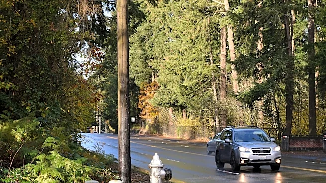
northeast into the western North Pacific. This weather pattern is expected to spread rain across the region from late Friday into Saturday, with a stronger system arriving Saturday night into Sunday. The latter system is predicted to produce particularly strong winds along the coast and north of Everett. November is typically the wettest month for western Washington and ranks highest for river flooding due to minimal mountain snowpack early in the season. Despite a dry start to the month, November is now aligning with its usual wet reputation, with a series of wet weather systems approaching from the North Pacific. Public works authorities are advising residents to clear storm drains of leaves to prevent water ponding on roadways.
Why It's Important?
This incoming atmospheric river is significant for western Washington as it marks a shift towards typical late-fall weather patterns, which often include increased risks of flooding and landslides. While no significant flooding is immediately anticipated for most rivers due to drier conditions in October and early November, the Skokomish River, known for frequent flooding, remains an exception. The potential for clogged storm drains due to falling leaves could lead to localized road flooding, impacting daily commutes and public safety. Historically, atmospheric rivers have caused major flood events in November, such as those in 1986, 1990, 1995, 2006, 2009, 2015, and 2021, with some events bringing 30 to 40 inches of rain to the Cascades. The elevated snow levels, expected to be above highway passes before dropping to around 4,000 feet next week, mean that rain will contribute directly to runoff rather than being absorbed by snowpack, increasing river levels.
What's Next?
Residents in western Washington should prepare for increased rainfall and strong winds throughout the weekend. The National Weather Service will continue to monitor river levels and the potential for landslides, advising vigilance, especially for those living near or commuting through river valleys. Temperatures are expected to remain relatively mild, with highs in the 50s and lows in the 40s. Public works departments will likely be on alert for localized flooding caused by clogged storm drains. While significant widespread flooding is not currently forecast, the series of incoming wet systems will raise river levels. The region will transition into a period where the establishment of mountain snowpack later in the winter season will help absorb warmer rains, potentially reducing the frequency of significant flooding events compared to November.
Beyond the Headlines
The recurring nature of atmospheric rivers in western Washington highlights the region's vulnerability to intense rainfall events, particularly in late fall. The term '100-year flood' often misunderstood, signifies a 1% chance of such a flood occurring in any given year, rather than a guarantee of safety for the next 99 years. This statistical reality underscores the continuous need for preparedness and robust infrastructure to manage water runoff. The influence of former typhoons, like Cempaka, on weather patterns in distant regions like the Pacific Northwest illustrates the interconnectedness of global weather systems. As climate patterns evolve, understanding and adapting to these large-scale moisture transport events will be crucial for regional planning, emergency management, and public awareness campaigns regarding flood and landslide risks.