






What's Happening?
Central Florida is currently enjoying pleasant weather conditions with temperatures in the upper 70s and low 80s, accompanied by ample sunshine. Overnight lows are expected to be in the mid to upper 60s for most areas, with some regions dipping into the 50s
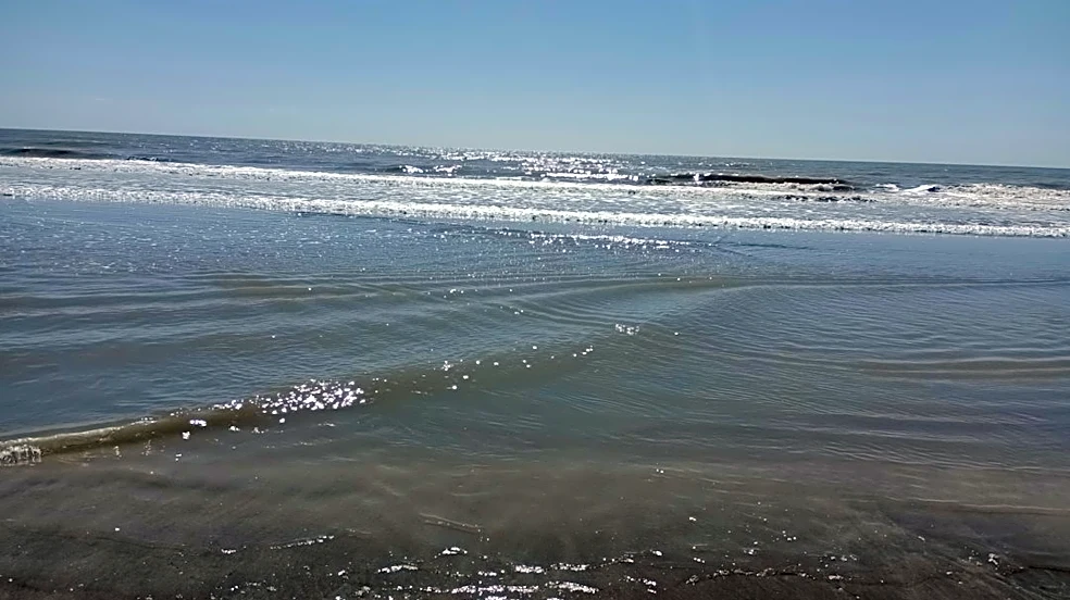
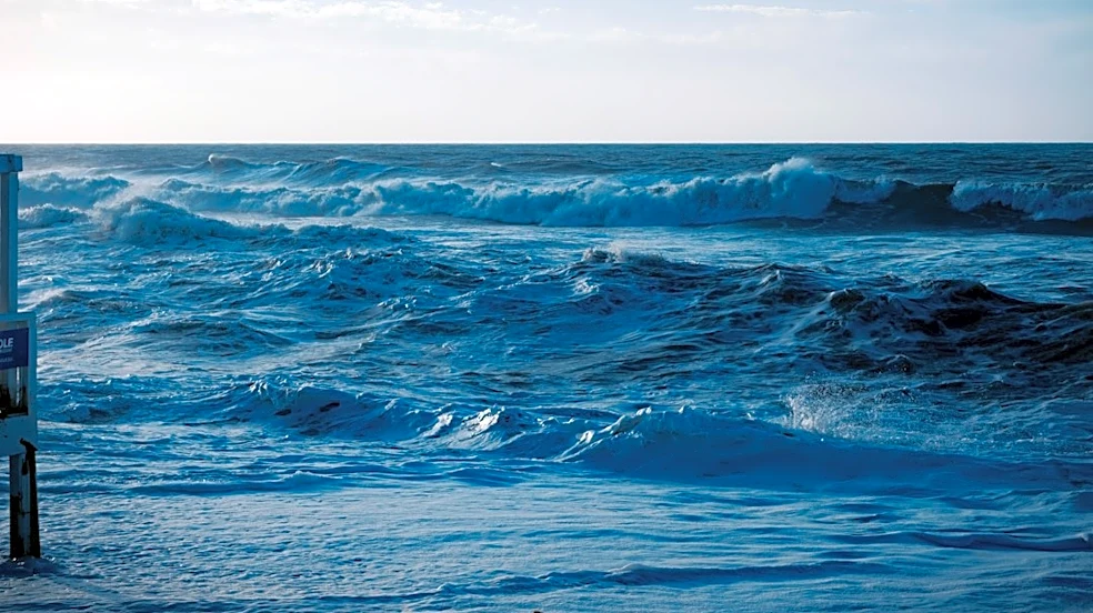
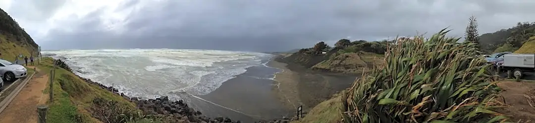
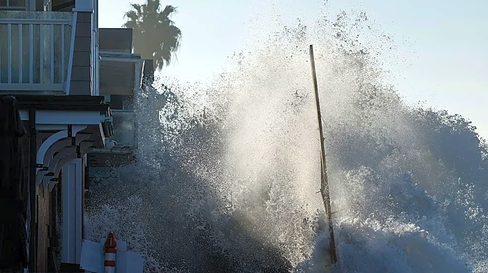
and 60s. However, this favorable weather pattern is set to change significantly over the upcoming weekend. An area of low pressure forming off the Atlantic coast will introduce unsettled weather, bringing increased cloud cover, scattered showers, and gusty winds. Specifically, Saturday has a 40-50% chance of hit-or-miss scattered showers, while Sunday is expected to be drier with a 20% chance. Coastal areas are particularly advised to prepare for strong winds, with gusts potentially reaching 40-45 mph, leading to rough beach conditions.
Why It's Important?
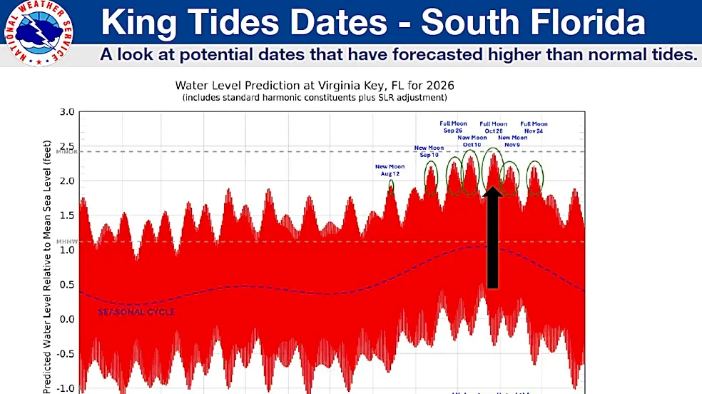
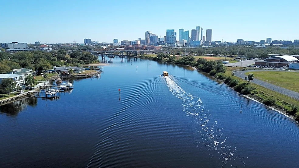
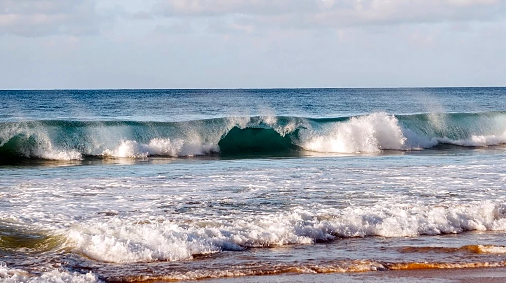
The shift in weather patterns is important for residents and visitors in Central Florida, particularly those planning outdoor activities or coastal excursions. The anticipated gusty winds and astronomically high tides pose a risk of additional beach erosion and isolated coastal flooding. Furthermore, large breaking waves, rough surf, and a high risk of dangerous rip currents are expected, prompting local officials to urge beach-goers to stay out of the water. This weather change could impact local tourism, recreational activities, and potentially cause minor disruptions to coastal infrastructure. The forecast highlights the dynamic nature of Florida's weather and the need for residents to remain informed and take necessary precautions, especially concerning coastal safety.
What's Next?
Residents and visitors in Central Florida should prepare for a change in weather conditions starting this weekend. While Friday is expected to maintain pleasant weather, Saturday and Sunday will see the return of scattered showers and gusty winds. Coastal communities, in particular, need to monitor weather updates closely due to the potential for beach erosion, coastal flooding, and dangerous rip currents. Local officials will likely continue to issue advisories regarding beach safety and water conditions. The progression of the low-pressure system off the Atlantic coast will dictate the exact timing and intensity of the weekend's unsettled weather, making continuous monitoring of forecasts crucial for public safety and planning.
Beyond the Headlines
The impending weather changes in Central Florida underscore broader implications related to coastal resilience and public awareness. The mention of 'astronomically high tides' combined with gusty winds highlights the vulnerability of coastal areas to natural phenomena, which can be exacerbated by climate patterns. The consistent need for local officials to warn against dangerous rip currents and urge people to stay out of the water points to an ongoing challenge in balancing recreational access with public safety. This situation serves as a reminder of the continuous efforts required in coastal management and public education to mitigate risks associated with dynamic marine and atmospheric conditions, especially in popular tourist destinations like Central Florida.