







What's Happening?
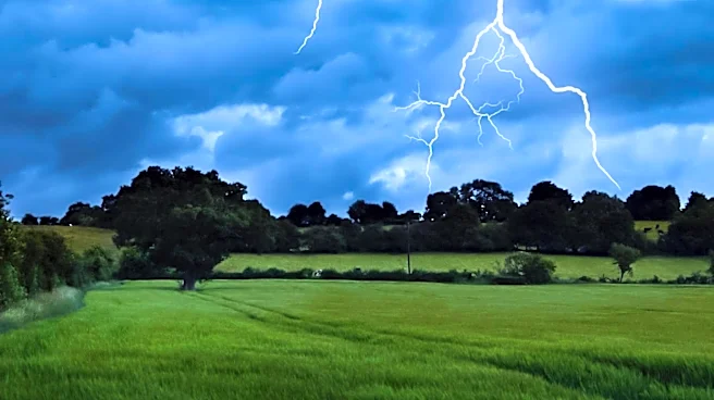
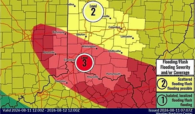
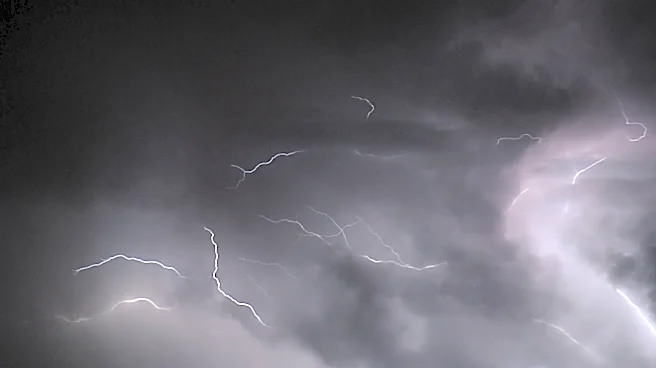
Severe thunderstorms are forecasted to impact areas near and south of I-94, with potential for damaging winds and downed trees. A Severe Thunderstorm Watch has been issued for counties bordering Indiana, highlighting the risk of 60-70 mph gusts. Meteorologists
are closely monitoring the situation, advising residents to stay informed and prepared for possible weather alerts.
Why It's Important?
Severe weather events pose significant risks to communities, including property damage and power outages. The forecasted storms underscore the importance of preparedness and timely communication from meteorologists to ensure public safety. As climate patterns shift, understanding and responding to severe weather becomes increasingly critical for minimizing impacts and protecting lives.