


What's Happening?
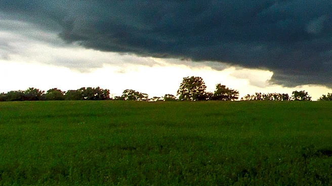
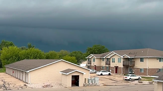
The National Weather Service (NWS) has reported a series of severe thunderstorms and a significant tornado that impacted northern and eastern Wisconsin on July 27, 2026. The storms, which included several supercells, moved southeastward, causing widespread
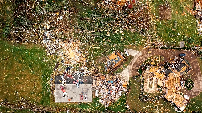
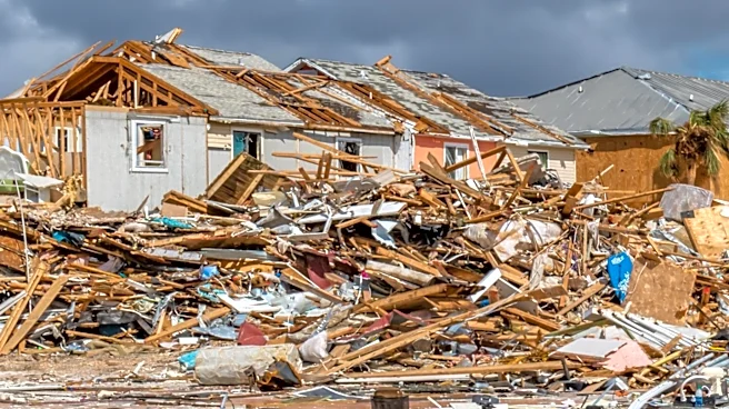
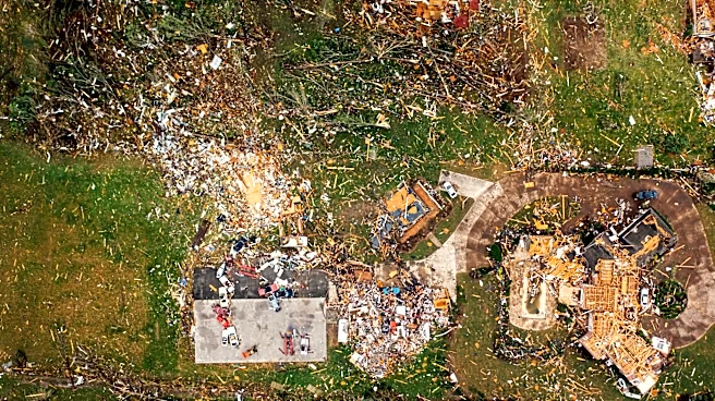
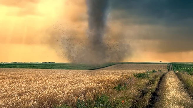
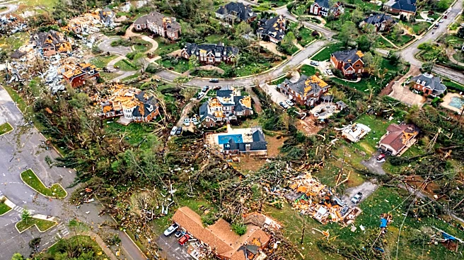
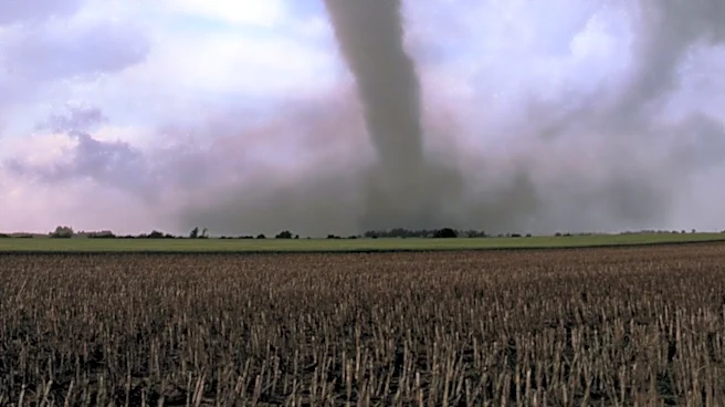
wind damage and hail. Reports indicate that trees and power lines were downed in various communities, including Eagle River, Hiles, and Three Lakes. Notably, Shawano County experienced hailstones exceeding 4 inches in diameter near Gresham. A tornado with a preliminary EF-3 rating struck the Appleton and Menasha areas around noon, with estimated peak winds reaching 140 mph. The NWS is conducting damage surveys to assess the full extent of the impact, and updates are expected in the coming days.
Why It's Important?
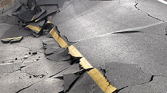
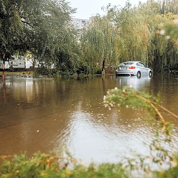
The severe weather event in Wisconsin highlights the ongoing challenges posed by extreme weather conditions in the U.S. Such events can lead to significant property damage, disrupt local economies, and pose risks to public safety. The occurrence of large hailstones and a powerful tornado underscores the need for effective emergency preparedness and response strategies. Communities affected by the storms may face substantial recovery efforts, including infrastructure repairs and support for displaced residents. The NWS's role in providing timely warnings and conducting damage assessments is crucial in mitigating the impact of such natural disasters and aiding recovery efforts.
What's Next?
As the NWS continues its damage assessments, local authorities and emergency services are likely to focus on recovery and rebuilding efforts. This may involve clearing debris, restoring power, and providing assistance to affected residents. The findings from the NWS surveys will inform future preparedness measures and may lead to updates in building codes and emergency response plans. Additionally, the event may prompt discussions on climate resilience and the need for investments in infrastructure to withstand severe weather events.