




What's Happening?
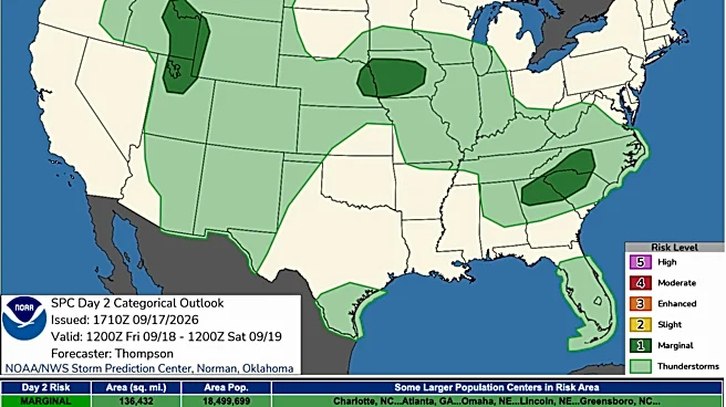
The Upper Midwest is under a 'Slight Risk' of flash flooding on Friday, according to the National Weather Service. Heavy rainfall is anticipated in parts of Montana, the Dakotas, Minnesota, and Iowa. This threat is expected to shift eastward by Saturday,
impacting the Great Lakes states, with downpours potentially drenching an area stretching from Nebraska to Michigan. Additionally, regions near the Rockies, including Colorado and Montana, could experience similar conditions. This flooding risk is part of a broader pattern of potentially dangerous deluges affecting the Southwest, Intermountain West, and Midwest, which began Friday and is projected to continue into Monday and Tuesday. The intensified super El Niño is contributing to these conditions, leading to record-warm Pacific waters that are loading the atmosphere with more moisture, as noted by meteorologist Ben Noll in The Washington Post. Climate change is also cited as a factor exacerbating these extreme weather events.
Why It's Important?
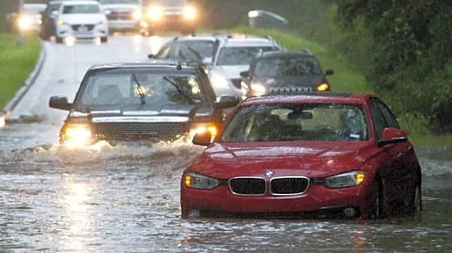
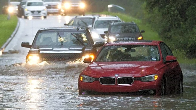
The widespread flooding across the Midwest and other regions carries significant implications for public safety, infrastructure, and daily life. Flash floods can quickly become life-threatening, as tragically demonstrated by recent events in New Mexico where three people, including a child, were swept away by floodwaters. The potential for flooded roads, disrupted rail services, and flight delays could severely impact travel and commerce across multiple states. For industries, particularly agriculture in the Midwest, excessive rainfall can lead to crop damage and soil erosion, affecting yields and economic stability. The repeated nature of these weather systems, with some areas experiencing multiple rounds of thunderstorms, can overwhelm drainage systems and exacerbate existing vulnerabilities, posing a challenge for emergency services and local governments in managing and mitigating flood impacts.
What's Next?
The immediate focus remains on the Midwest, where a 'Moderate Risk' for excessive rainfall is identified for Saturday, particularly in eastern Iowa, northern Illinois, southern Wisconsin, southwestern Michigan, and northern Indiana. The threat is then expected to shift towards the Ohio Valley, Great Lakes, and Northeast, before reaching parts of the Mid-Atlantic. Forecasters anticipate that some areas could experience multiple rounds of thunderstorms, which can lead to disproportionate travel problems even if individual storms are not exceptional. Travelers are advised to check forecasts before departure, allow extra road time, and avoid flooded routes. Official weather alerts from the National Weather Service are crucial for staying informed, as conditions can change rapidly. Local authorities and emergency services will likely continue to monitor water levels and issue warnings as needed, with potential for road closures and evacuation orders in severely affected areas.
Beyond the Headlines
The current pattern of intense and widespread rainfall highlights deeper environmental and climatic shifts. The mention of an intensifying super El Niño and the role of climate change in loading the atmosphere with more moisture points to a long-term trend of increased weather volatility. This suggests that such extreme weather events may become more frequent and severe, necessitating a reevaluation of infrastructure, urban planning, and disaster preparedness strategies across the U.S. The impact on burn scars in the Intermountain West and Southwest, where scorched ground cannot absorb water, underscores the interconnectedness of environmental challenges, as wildfires can exacerbate subsequent flooding risks. This situation also raises questions about the resilience of communities, particularly those in vulnerable areas, and the need for proactive measures to adapt to a changing climate, moving beyond reactive responses to disaster.