



What's Happening?
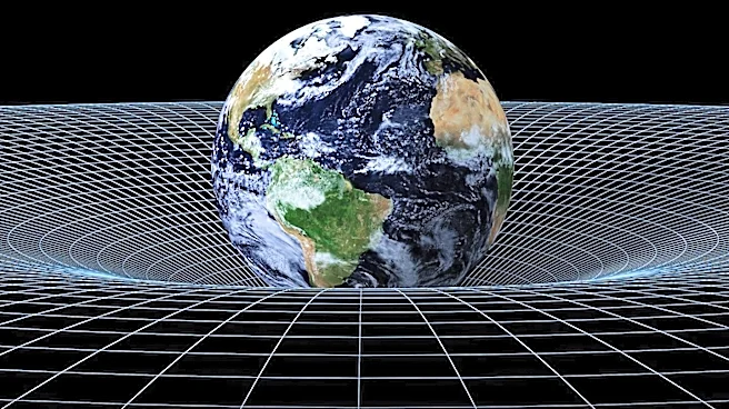
NASA has released a new 3D geoid model that visualizes Earth's gravitational field, revealing irregular bulges and depressions caused by variations in mass distribution. This model, created using satellite data from the Gravity Recovery and Climate Experiment
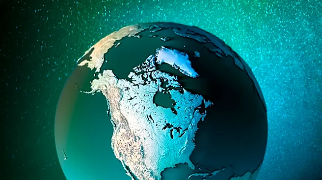
(GRACE), highlights the planet's gravitational anomalies. The data, spanning 15 years, has been instrumental in understanding ice loss in Antarctica and Greenland, contributing to sea-level rise estimates. The model also aids in tracking groundwater depletion and drought conditions globally, providing valuable insights into Earth's changing climate and its impacts.
Why It's Important?
The geoid model is crucial for understanding Earth's gravitational field and its implications for climate science. By accurately measuring gravitational variations, scientists can better assess ice loss in polar regions, a key factor in global sea-level rise. This information is vital for predicting future climate impacts and informing policy decisions on climate adaptation and mitigation. Additionally, the model's ability to track groundwater depletion and drought conditions offers critical data for managing water resources in affected regions. The insights gained from this model underscore the importance of satellite technology in monitoring Earth's environmental changes.
Beyond the Headlines
The geoid model not only enhances our understanding of Earth's gravitational field but also highlights the interconnectedness of global environmental systems. The data's ability to track changes in ice mass and groundwater levels underscores the complex interactions between climate change and natural resources. This model serves as a reminder of the need for comprehensive climate monitoring and the role of advanced technology in addressing global environmental challenges. As climate change continues to impact ecosystems and human societies, such models will be essential for developing effective strategies to mitigate its effects.