
What's Happening?
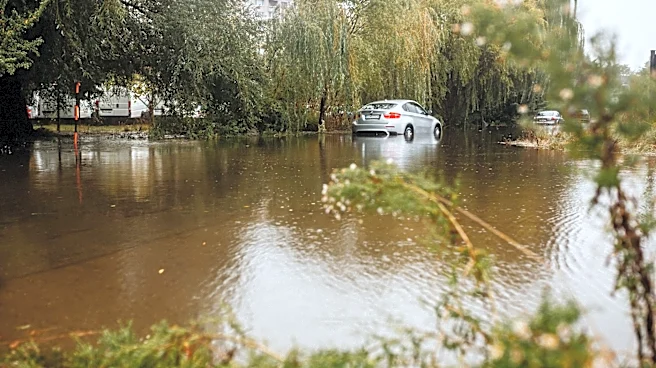
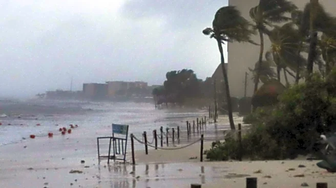
The Northeast region of the U.S. is bracing for severe storms, with over 32 million people along the I-95 corridor from Connecticut to Virginia under a flash flood threat. NOAA’s Weather Prediction Center
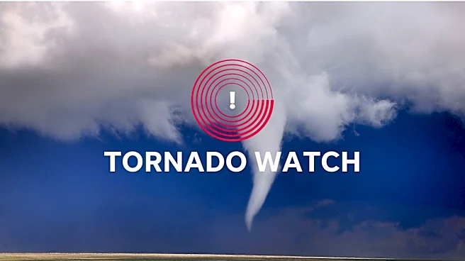
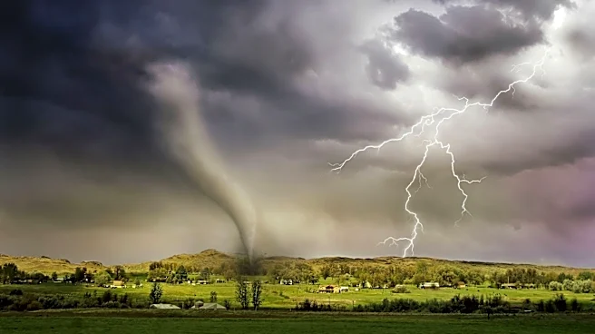
(WPC) has issued a widespread Level 2 out of 4 risk for flash flooding in this area. Specifically, 17 million individuals across parts of New Jersey and New York City face a higher Level 3 out of 4 risk. These storms are expected to bring drenching downpours, with rainfall rates potentially reaching up to 2 inches per hour. A Tornado Watch is also in effect for over 15 million people in Delaware, District of Columbia, Maryland, New Jersey, Pennsylvania, and Virginia until 10 p.m. ET. The cold front responsible for this severe weather is moving east from the Ohio Valley and is anticipated to stall over the Northeast coast and Mid-Atlantic through Thursday evening. Widespread rainfall totals of 2 to 3 inches are possible from North Carolina up to coastal New Jersey, with localized amounts of 3 to 5 inches.
Why It's Important?
This severe weather event carries significant implications for public safety, infrastructure, and daily life across a densely populated corridor of the U.S. The threat of flash flooding can lead to dangerous conditions, including submerged roads, property damage, and potential displacement. The high rainfall rates, especially over already saturated soils, increase the risk of urban flooding in major metropolitan areas like Philadelphia and New York City, which can disrupt transportation and essential services. Damaging wind gusts and the possibility of tornadoes pose additional threats to life and property. The disruption to travel along the I-95 corridor, a critical economic artery, could have ripple effects on commerce and logistics. Furthermore, the potential for power outages, as seen in southwestern Kentucky with over 24,000 customers affected, highlights the vulnerability of utility infrastructure to such extreme weather events. The affected areas include major economic hubs and residential centers, making the impact widespread.
What's Next?
The severe storms are expected to taper through Thursday evening. However, by Friday, the stalled cold front is anticipated to allow more storms to develop over the same areas in Virginia, North Carolina, and coastal Maryland, with continued rainfall rates of 2 inches per hour. The Level 2 flood threat will shift southward on Friday, covering an area from southern Delmarva to parts of central South Carolina. As the weekend approaches, an area of low pressure could develop, potentially pushing rainfall further north into the Interstate 95 corridor, though this is not yet guaranteed. Rainfall is still expected to continue through Saturday evening in the Mid-Atlantic and Carolinas. Authorities will continue to monitor weather patterns, and the FOX Forecast Center indicates that the flash flood risk could be upgraded in the coming days if current forecasts hold. Residents in affected areas are advised to stay informed about local weather advisories and prepare for potential flooding and severe conditions.
Beyond the Headlines
The recurring nature of severe weather events, including flash floods and tornadoes, in the U.S. underscores broader challenges related to climate patterns and urban development. The vulnerability of major metropolitan areas like New York City and Philadelphia to urban flooding highlights the need for robust infrastructure and drainage systems capable of handling intense rainfall. The concentration of population and economic activity along the I-95 corridor means that disruptions from severe weather can have amplified societal and economic consequences. This event also brings to light the ongoing debate about the adequacy of current warning systems and emergency preparedness strategies in rapidly changing weather conditions. The long-term implications could include increased investment in resilient infrastructure, updated urban planning to mitigate flood risks, and enhanced public awareness campaigns to ensure communities are better equipped to respond to and recover from such events. The fact that some of the heaviest rain is expected in areas already experiencing severe to extreme drought in the Carolinas and Virginia also points to the complex and sometimes contradictory impacts of climate variability.